Downtown Hayesville Heritage Walk
A compact walking circuit of Hayesville's downtown town square, anchored by the National Register-listed Clay County Courthouse, with a mix of historic civic buildings and local shops.
- Duration:
- 1 hr
Age
All Ages
Cost
Free
Multiple publicly accessible locations in and around Hayesville. Blue Ridge Parkway overlooks are free. Some locations are private businesses.
Access
Limited Access
Mountain town with a mix of walkable downtown streets and rural mountain roads
Equipment
Photos OK
Cherokee Nation Territory · Trail of Tears Region · Blue Ridge Mountain Heritage · Clay County Establishment 1861
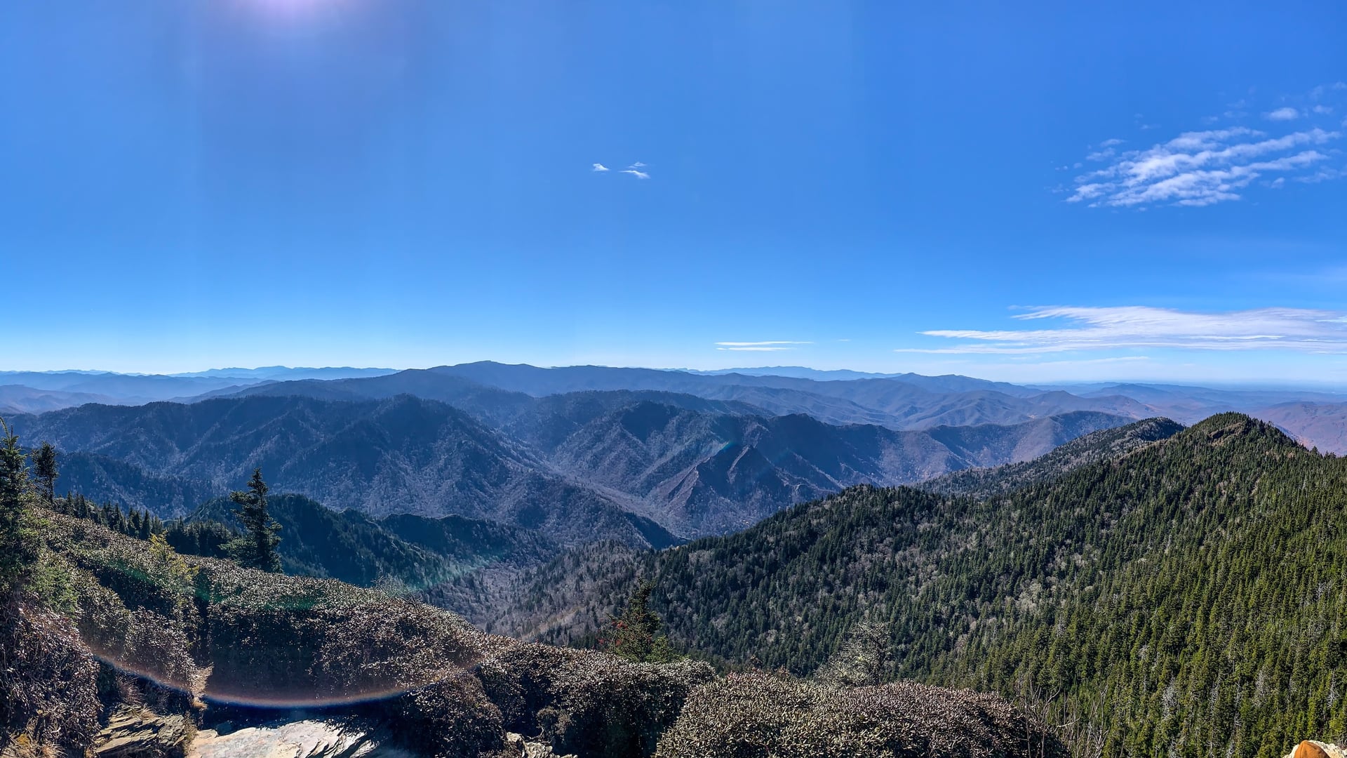
Hayesville sits at the southern end of the Blue Ridge Mountains, in Clay County, North Carolina, at an elevation of approximately 1,900 feet. The region was Cherokee territory through the early 19th century — the area around Hayesville was part of the Cherokee homeland before the forced removal of 1838-1839, when thousands of Cherokee people were marched westward along routes that passed through this landscape.
European-American settlement of the area preceded formal county organization. Clay County was established from portions of Cherokee County in 1861, and Hayesville was incorporated as its county seat. The town's downtown has retained a compact, walkable character centered on a courthouse square.
The commercial and civic buildings of Hayesville's downtown represent the town's 20th-century history, reflecting the economic patterns of a small mountain town adapting to changing commercial conditions across several decades.
The paranormal character of the Hayesville area is diffuse — distributed across the surrounding countryside rather than concentrated in a single dramatic location.
Outside town, a cabin on Roaring Fork Road estimated at over 200 years old carries a reputation of occupation by a woman's presence. The identity of the figure is not documented in available sources.
At Blue Ridge Parkway mile marker 464, nighttime visitors have consistently reported glowing lights in the sky that have not been attributed to aircraft, cell towers, or other identified sources in the accounts found during research.
The broader region's history — Cherokee displacement along routes through this landscape in 1838-1839 — provides a context that many local accounts draw on, though the connection between that history and specific phenomena is cultural and interpretive rather than documented.
A compact walking circuit of Hayesville's downtown town square, anchored by the National Register-listed Clay County Courthouse, with a mix of historic civic buildings and local shops.
Nighttime visitors to the overlook area near Blue Ridge Parkway mile marker 464 have reported unexplained glowing lights in the sky that remain unattributed to any confirmed source. The overlook is a standard Blue Ridge Parkway pullout.
Gatlinburg, TN
Great Smoky Mountains National Park preserves 522,427 acres of southern Appalachian terrain across Tennessee and North Carolina. The land was the heart of the Cherokee Nation before forced removal in 1838 along what became the Trail of Tears, and home to Appalachian Scots-Irish and English settler communities through the early twentieth century. Congress authorized the park in 1926; it was formally dedicated by Franklin D. Roosevelt on September 2, 1940.
near Morganton, NC
The Brown Mountain Lights are an intermittent light phenomenon visible from the Burke County, North Carolina, side of Brown Mountain, a low ridge along the Burke-Caldwell county line. Sightings have been documented since 1833. The U.S. Geological Survey investigated the lights in 1913 and again in the 1920s, and the phenomenon has been studied repeatedly by academic researchers since.
Linville Falls, NC
The Linville Gorge Wilderness in Burke County, North Carolina is part of the Pisgah National Forest and contains the deepest river gorge in the eastern United States. The Brown Mountain Lights — unexplained luminous phenomena visible from Wiseman's View and other overlooks near the gorge — were first reported in published accounts around 1910. A 1922 investigation by USGS scientist George R. Mansfield attempted to explain them as reflected headlights and brush fires but could not account for all reported sightings.