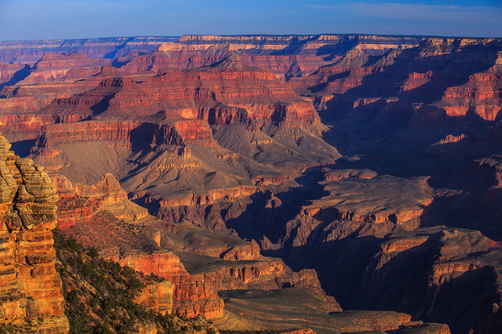
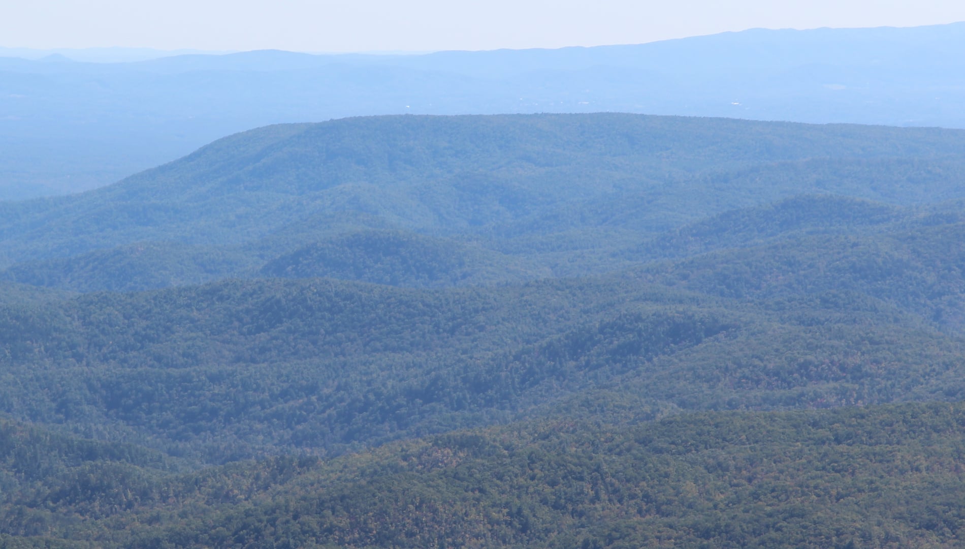
Est. 1934 · UNESCO World Heritage Site · Cherokee Cultural Landscape · Most-Visited US National Park
The Great Smoky Mountains were the cultural heartland of the Cherokee Nation, who knew the range as Shaconage. The Treaty of New Echota (1835) and the resulting 1838-1839 forced removal — the Trail of Tears — displaced most Cherokee from the region, though a remnant community remained in what became the Qualla Boundary, today home to the Eastern Band of Cherokee Indians whose reservation borders the park's southern edge.
Appalachian settler communities — Cataloochee, Cades Cove, Greenbrier, the North Shore, Roaring Fork — built mills, churches, schoolhouses, and farms across the coves through the late nineteenth and early twentieth centuries. Logging operations by Champion Fibre, Little River Lumber, and other companies cleared substantial portions of old-growth forest between 1900 and the 1930s.
The Tennessee and North Carolina legislatures, working with private donors led by the Rockefeller family, assembled the park's lands through purchase, condemnation, and donation. Congress authorized the park in 1926; the National Park Service began acquiring land immediately; the park was formally established in 1934 and dedicated on September 2, 1940. UNESCO designated it a World Heritage Site in 1983 and a Biosphere Reserve in 1988.
With more than twelve million recorded visits in recent years, Great Smoky Mountains is consistently the most-visited national park in the United States.
Sources
- https://www.nps.gov/grsm/index.htm
- https://en.wikipedia.org/wiki/Great_Smoky_Mountains_National_Park
ApparitionsPhantom voicesPhantom soundsOrbsLights flickeringShadow figures
Spearfinger, known in Cherokee as U'tlun'ta — 'the one with the pointed spear' — is a foundational figure in Eastern Cherokee oral tradition. Stories describe a stone-skinned old-woman ogre who lures travelers, particularly children, before extracting their livers with a sharpened forefinger. Versions of the story were collected by James Mooney in the late nineteenth century and remain part of Eastern Band of Cherokee cultural programming today. Park visitors and hikers along Norton Creek Trail, the North Shore of Lake Fontana, and other backcountry corridors associated with the legend report flashing orbs, unsourced whispers, and a recurring sense of unease that lifts at trail's end. The Eastern Band of Cherokee Indians' cultural office is the appropriate authority for any deeper interpretation of this tradition.
Cades Cove carries the largest body of settler-era reports. The Primitive Baptist Church and its cemetery, the Methodist Church on the loop road, and the John Oliver Cabin are recurring sites in published collections. Visitors describe lantern light moving among the headstones at dusk, the sound of a child crying in the empty Methodist sanctuary, and figures in nineteenth-century dress glimpsed in cabin windows. Most accounts are from informal visitor journals rather than formal investigation.
The North Shore — submerged in part by the 1944 creation of Fontana Lake and home to the famous unfinished 'Road to Nowhere' near Bryson City — anchors a separate tradition tied to the displacement of pre-park communities. Reports there focus on the tunnel at the end of Lakeview Drive and on the remote family cemeteries reachable only by NPS shuttle boat.
Roaring Fork's historic structures (the Ephraim Bales cabin, the Alfred Reagan place) are subjects of additional folklore. Anderson Design Group and several regional publishers have produced popular interpretations of the park's legends; the National Park Service's interpretive program acknowledges the folklore alongside the documented Cherokee and settler history.
Notable Entities
U'tlun'ta (Spearfinger)Cades Cove congregation spirits
Media Appearances
- Anderson Design Group: Legends of the National Parks