First Reported 1966 · 1990 Telescopic/Spectroscopic Investigation · 2010 Michigan Tech SPIE Study · Ottawa National Forest
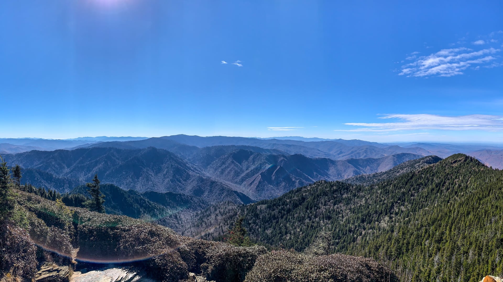
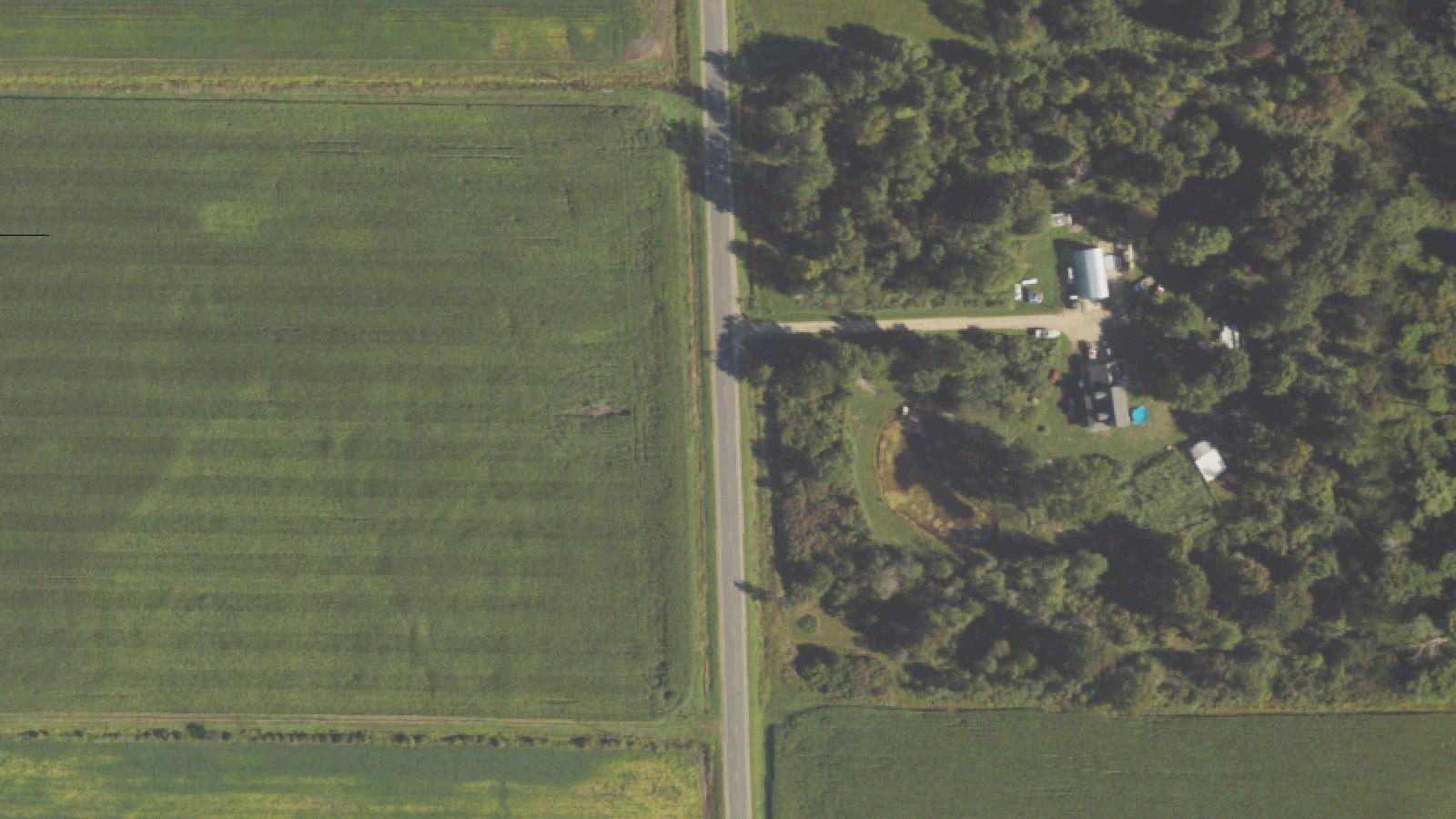
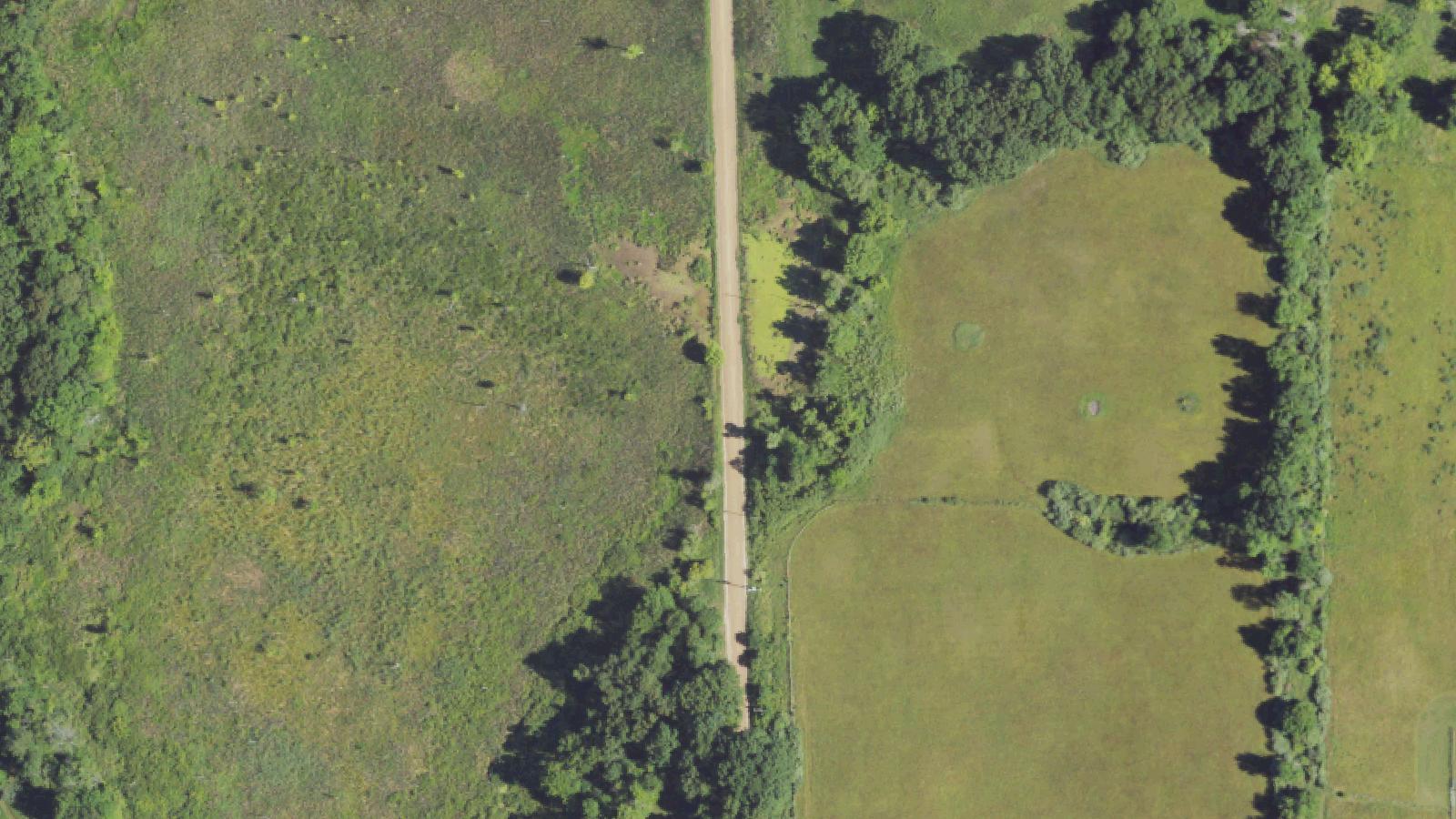
The Paulding Light appears in a valley along Robbins Pond Road, a gravel spur off old US-45 in Michigan's Upper Peninsula, a few miles south of the small community of Paulding in Ontonagon County. The site sits inside the Ottawa National Forest, land that was logged and crossed by rail spurs serving the region's lumber camps in the early twentieth century.
The light was first formally reported in 1966, when teenagers described it to the local sheriff, though residents say sightings predate that report. It drew enough attention to prompt a 1990 investigation using telescopic and spectroscopic analysis, which concluded the source was vehicle headlights and taillights on US-45 roughly five miles to the north.
Twenty years later, students in Michigan Technological University's SPIE chapter revisited the question for a class project, publishing their results in October 2010. Training a telescope on the valley, they identified individual vehicles and a specific Adopt-a-Highway sign, then recreated the light's shifting colors and apparent movement by driving a car along the same stretch of highway while observers watched from the Paulding overlook. Their report attributed the effect to a temperature-inversion layer that keeps distant headlights visible far longer, and at stranger angles, than ordinary line of sight would allow.
Despite two independent investigations reaching the same conclusion decades apart, the site remains a nightly gathering spot, marked with roadside historical signage and listed on most Upper Peninsula visitor itineraries.
Sources
- https://en.wikipedia.org/wiki/Paulding_Light
- https://www.mtu.edu/news/stories/2010/october/story32436.html
- https://www.freep.com/story/news/columnists/john-carlisle/2016/09/04/mysterious-paulding-light-upper-peninsula-michigan/89275134/
- https://www.csicop.org/si/show/mystery_of_the_paulding_light
- https://www.roadsideamerica.com/tip/8399
Bobbing or swinging light in the valleyColor-shifting glowLight appears to approach or recede
The most repeated story ties the light to a railroad brakeman killed while trying to flag down or stop a train after a signal failed on tracks that once crossed the valley — his lantern, in this telling, still swings through the woods searching for the wreck. Other versions swap in a mail carrier lost on foot at night, or a figure said to dance along the power lines that cross the valley.
A 2016 Detroit Free Press feature on the site collected a further variant: a grandparent searching after dark for a lost grandchild, carrying a lantern that needs constant relighting as it moves through the trees. None of the origin stories are tied to a documented death, missing-person case, or accident record at the site.
Skeptical Inquirer investigator Ben Radford, writing in 2017, noted that the brakeman story outlasts the physics: viewers who already know the scientific explanation keep coming anyway, preferring the distant glimmer to be a ghost's lantern rather than the headlights of a passing car.
Notable Entities
The phantom brakeman
Media Appearances
- Fact or Faked: Paranormal Files (TV series, 2010)