Est. 1838 · Township Settlement · Lapeer County Development · Lumbering Heritage · Agricultural History
Metamora Township's establishment in 1838 coincided with broader Michigan settlement patterns following the resolution of the Toledo War (1836-1837). The township's name derives from the character Metamora, the protagonist of an enormously popular 1829 stage play "Metamora; or, The Last of the Wampanoags" that ran for over sixty years on American stages. This theatrical reference inspired the naming of multiple Midwestern communities.
First settlers arrived around 1831, establishing an agricultural and lumbering-based economy. The arrival of railroad connections later brought prosperity and population growth to the region. The railroad depot marked Metamora's connectivity to major population centers including Flint and Detroit.
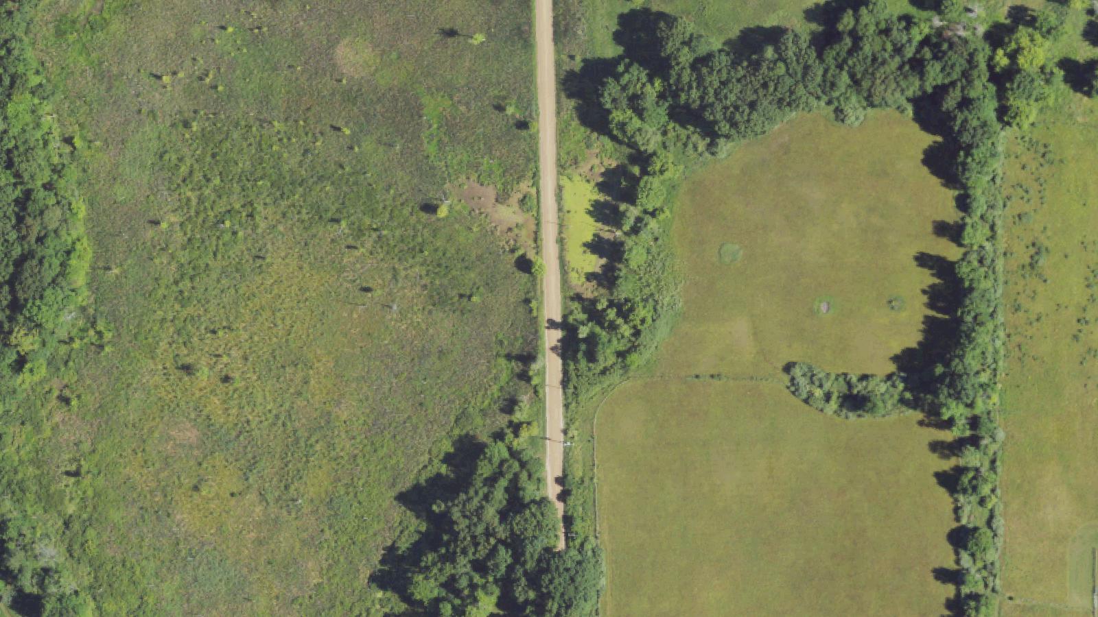
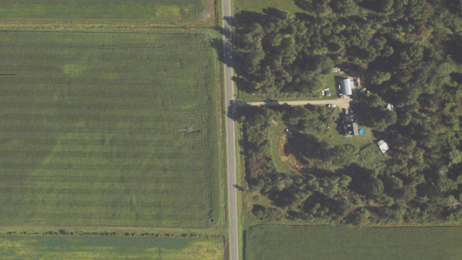
Blood Road itself carries the name of Norman B. Blood, who served as township supervisor in the 1850s. The road was never named for paranormal phenomena or historical violence, but rather preserves the family name of an early community leader. The road traverses terrain typical of northern Michigan—swampy bog areas interspersed with woodlands and agricultural land.
Sources
- https://en.wikipedia.org/wiki/Metamora_Township,_Michigan
- https://en.wikipedia.org/wiki/Metamora,_Michigan
- https://metamoratownship.com/history/
Visual apparitionsShadow figures
Blood Road carries multiple layers of paranormal folklore, each reflecting different historical anxieties and contemporary urban legend themes. The most prevalent narrative describes a homicide: allegedly, a man murdered his wife and placed her body in the back of his truck. Upon crossing a bump in the road, the body fell out and was dragged along the surface, leaving permanent bloodstains that reappear despite paving attempts.
A secondary, more elaborate legend attributes the phenomena to satanic cultists who fled east during historical witch hunts and persecution. According to this narrative, these practitioners established secret ritual sites in the swamps surrounding Metamora during the 1600s, conducting sacrifices that left blood permanently staining the dirt road.
More contemporary reports describe motorists encountering shadowy figures lurking in marshes adjacent to the road during nighttime driving. Some accounts claim branches fall in the road behind vehicles or that the road's surface appears to turn blood-red during darkness.
A rational explanation for the road's appearance lies in geology: the dirt road's distinctive reddish coloration results from iron oxide deposits and clay minerals in the local soil. When wet, these minerals produce a deep red appearance superficially resembling dried blood. This natural phenomenon likely provided the foundation for folklore narratives.
No documented historical record of violence associated with Blood Road exists in public archives. The paranormal narratives appear to be contemporary urban legends rather than responses to verified historical events. The remoteness of the location, combined with its natural reddish coloring and isolated swamp setting, create ideal conditions for folklore development.
Media Appearances
- 99wfmk.com - Witchcraft & Murder in the Swamps of Blood Road: Metamora, Michigan
- lostinmichigan.net - A Haunting on Blood Road