Catawba Territory · Waxhaw History · South Carolina Piedmont Heritage
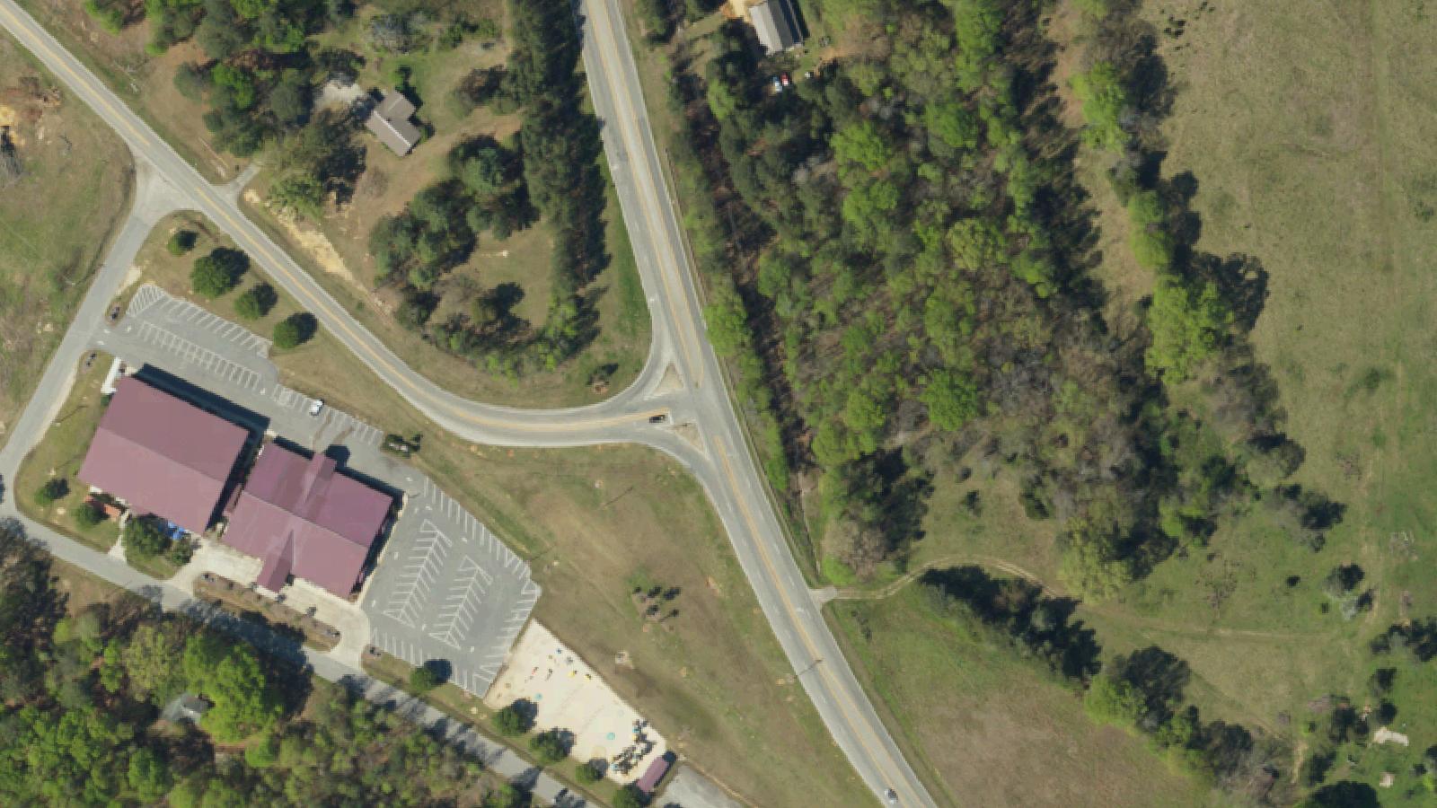
Lancaster County's southernmost corridor, running along Highway 521 toward the North Carolina border, is known locally as Indian Land — a name that reflects a historical reality: the area remained populated by Indigenous people, primarily Catawba and Waxhaw, after European settlement had displaced tribal communities from surrounding areas.
The Waxhaw people occupied territory spanning parts of what are now North and South Carolina. Historians debate whether the Waxhaw were a distinct nation or a branch of the Catawba; the weight of current scholarship suggests a close relationship rather than complete separation. By the early eighteenth century, European disease and colonial conflict had catastrophically reduced both populations. The Waxhaw, as a distinct tribal identity, did not survive.
The field beside Highway 521 that contains the Devil's Stomping Ground sits within this territory. The land has been subjected to various forms of agricultural and residential development over the two-plus centuries since the Waxhaw and Catawba presence receded. The barren circle within the field has been noted by local residents and passing travelers for generations, though no scientific study of the soil chemistry has been publicly documented in accessible sources.
The story that the circle served as an execution site for Indigenous peoples — where condemned individuals were put to death and evil spirits gathered to collect the souls — is the primary narrative in regional folklore. This framing reflects folk explanations of unusual landscape features rather than documented historical record.
Sources
- https://www.scpictureproject.org/lancaster-county/indian-land.html
- https://southcarolinaghost.tripod.com/GhostStories/id10.html
Sensed presenceResidual haunting
The circle is the fact. A circular area of barren earth in a field beside Highway 521, where grass does not grow and where visitors and researchers have reported finding no insects, no earthworms, no microfauna within its boundaries. The diameter and precise location have been described consistently enough across multiple independent accounts to suggest a persistent physical phenomenon rather than a single witness's impression.
What causes the barrenness is not documented in accessible scientific literature. Proposed explanations range from soil chemistry anomalies to compaction from repeated foot traffic by visitors drawn to the site. None have been formally verified.
The reported sensory experience of standing in the circle is unusual in its consistency: multiple visitors, independently, describe an onset of dread, despair, and nausea that they attribute to the site rather than to expectation or suggestion. Visitors who enter the circle, clear their minds, and hold still describe the sensation as physical rather than psychological — a qualitative shift in how the environment feels.
The Waxhaw execution site story is the dominant folkloric explanation. The narrative holds that condemned members of the tribe were brought to this clearing for execution, and that malevolent presences frequented the site to collect the souls of the dead. This account is folk tradition, not documented history.
The broader context of Indian Land as a zone of sustained Indigenous presence adds weight to the landscape's historical layers, even if the specific circle lacks an identified event. The land has a documented human past reaching back through tribal use; the barren circle simply refuses to be explained away.