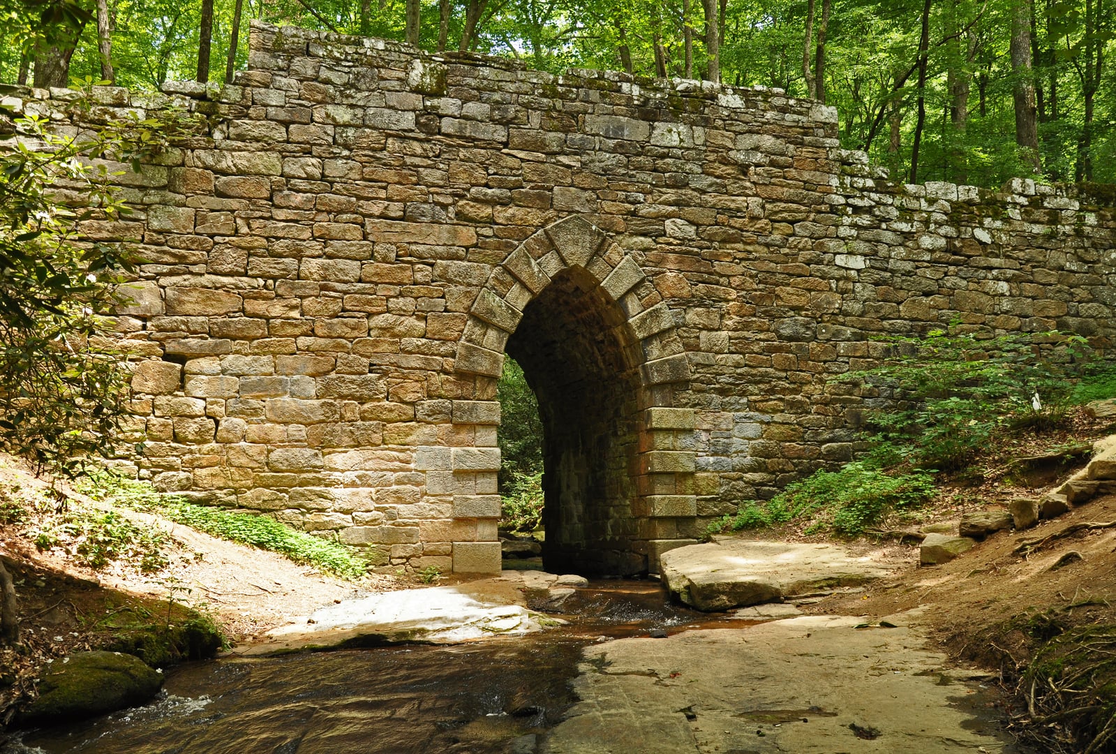
Est. 1936 · Civilian Conservation Corps Construction · Sumter National Forest · Historic Picnic Shelter
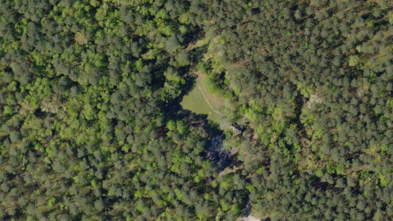
Molly's Rock Picnic Area is a day-use recreation site within the Sumter National Forest in Newberry County, South Carolina, near the small town of Whitmire. The site centers on a large granite boulder - Molly's Rock - which sits on what was originally homestead land before the National Forest was assembled.
The Civilian Conservation Corps built the picnic shelter between 1936 and 1942 as part of the CCC's extensive recreation-infrastructure work across the Southeast during the New Deal. The shelter, the pond, and the surrounding hardwood-shaded picnic area have all been maintained by the US Forest Service since the federal takeover of the property.
The site was originally named the Suber Recreation Area and was later renamed Molly's Rock to honor the local landmark. The Shadowlands narrative's references to suicide gravestones and a vanishing house describe land outside the formal recreation area, on posted private or restricted-access tracts within the broader National Forest.
The documented cemetery and homestead remnants in the surrounding area are not part of the day-use recreation site; visitors should stay within the marked picnic area.
Sources
- https://www.fs.usda.gov/r08/francismarionsumter/recreation/mollys-rock-picnic-area
- https://scgreatoutdoors.com/park-molly.html
- https://www.newberrycounty.gov/parks-recreation/outdoor-recreation/recreational-resources
ApparitionsPhantom soundsLights flickering
The Molly's Rock origin folklore is regionally specific and predates the picnic area's New Deal-era development. The most-told version identifies Molly as a young woman who played on the rock and watched travelers along the road. She fell in love with a Revolutionary War soldier, but her father disapproved and sent the soldier away. Heartbroken, Molly left her father's house and lived in solitude at the rock, gathering food from the surrounding forest, until she died there.
Other variants of the legend circulate locally, and the US Forest Service explicitly notes in its recreation-site material that the origin of the name is uncertain because several different accounts exist.
The Shadowlands narrative adds material outside the formal recreation area: a hilltop cemetery with a row of suicide-marked gravestones, a vanishing house, and an incident in which an old truck's starter was almost destroyed while drivers attempted to escape a bright light. These elements sit on posted land in the surrounding forest and are not part of the documented day-use site. The Sasquatch-related howl reports collected by Squatchable for the broader park area are part of a separate folk tradition involving the Sumter forest.
Hauntbound includes the picnic area as a real and accessible CCC-era day-use destination with a substantial regional folk-name tradition.