Highest Natural Point on Long Island · Walt Whitman Trail · Suffolk County Parks
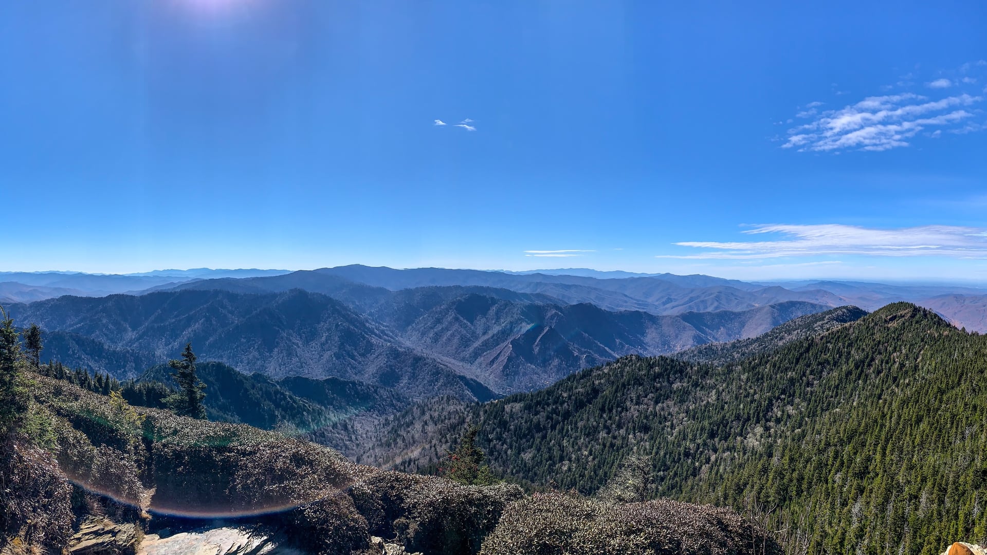
West Hills County Park sits on the West Hills moraine in the Town of Huntington in northwestern Suffolk County. The park's 853 acres preserve the highest elevation on Long Island, Jayne's Hill, at 401 feet above sea level. The poet Walt Whitman spent much of his early childhood in the West Hills area and returned to the moraine repeatedly in his later years; the Walt Whitman Trail through the park is named for him.
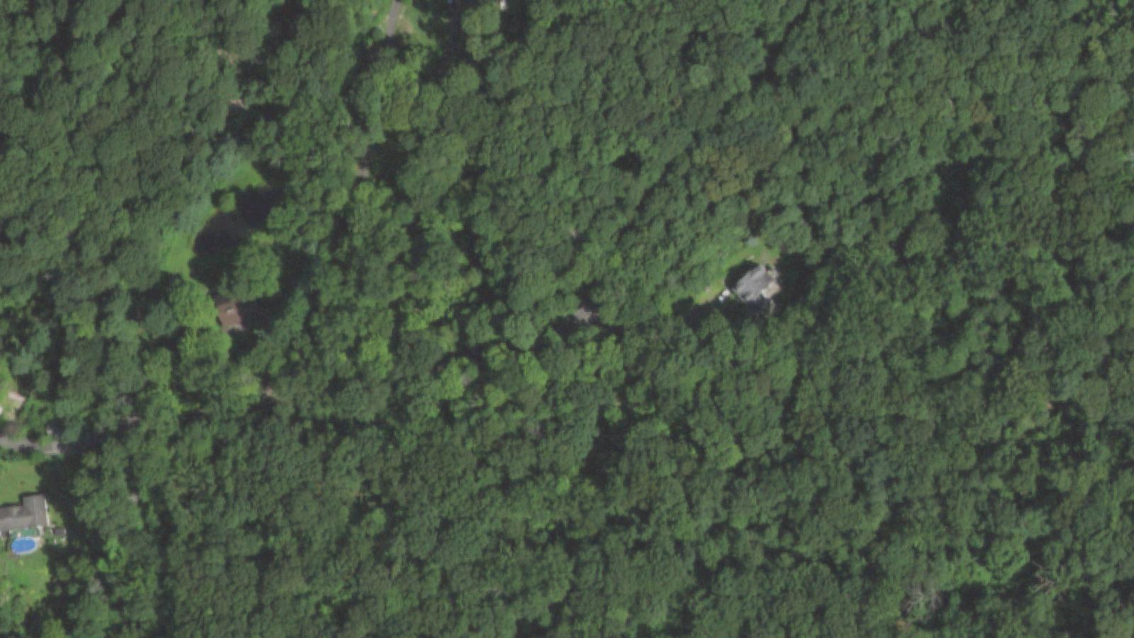
The surrounding road network includes Mount Misery Road, Sweet Hollow Road, and several unpaved fire lanes that traverse the wooded hills. The name Mount Misery is documented in 19th-century Long Island gazetteers and predates the modern paranormal folklore by more than a century, with most sources attributing the name to the difficulty early settlers had clearing and farming the boulder-strewn moraine.
Despite repeated Shadowlands and modern-folklore claims that an asylum stood in the woods, local-history research published on the Long Island Patch and in regional histories has not located documentation of a hospital or asylum on the site. One alternative theory advanced by Long Island historians associates the asylum stories with the former Edgewood psychiatric facility in Deer Park, a separate location built in the 1940s and used during World War II as a military hospital. The Edgewood site closed in the 1970s and is unrelated to the West Hills parkland.
Sources
- https://www.suffolkcountyny.gov/Departments/Parks/Our-Parks/West-Hills-County-Park
- https://www.gothichorrorstories.com/the-legends-and-myths-of-sweet-hollow-road-and-mount-misery/
- https://theghostinmymachine.com/2015/05/04/haunted-road-trip-mount-misery-road-and-sweet-hollow-road-west-hills-huntington-long-island-new-york/
ApparitionsShadow figuresUnexplained lightsPhantom voicesAnimal apparitions
The Mount Misery road legend is one of the most retold pieces of Long Island folklore. Local accounts collected by area paranormal writers describe four recurring elements. The first is a woman in white seen calling for help along the wooded stretches of the road, often associated with the story of a patient called Mary who supposedly escaped a hospital on the hill and set the building on fire. The second is the figure of a child or several children seen running across the road near the Walt Whitman Trail trailheads. The third is the so-called Mount Misery Hellhound, a black canine figure with reportedly glowing red eyes; this account, like the asylum origin, is consistent with American roadside-dog folklore but lacks any documented historical anchor.
The fourth is a cluster of reports of unexplained lights and shadow figures along the road at night. Long Island Haunted Houses and several regional paranormal outlets describe at least one Sweet Hollow Road account involving a phantom pulled-over police officer.
Researchers including the writers of the Gothic Horror Stories Sweet Hollow series have made repeated attempts to find documentary evidence for the hospital said to have stood in the West Hills. None has surfaced. The most plausible explanation advanced by local historians is that the Mount Misery asylum has been conflated with the Edgewood facility several miles away in Deer Park. The folklore persists primarily as Long Island car-culture lore, told and retold among teenagers driving the woods at night.
Media Appearances
- Long Island regional folklore collections