Pioneer Settlement · Frontier History · Rural Development · Railroad Infrastructure · Rural Road
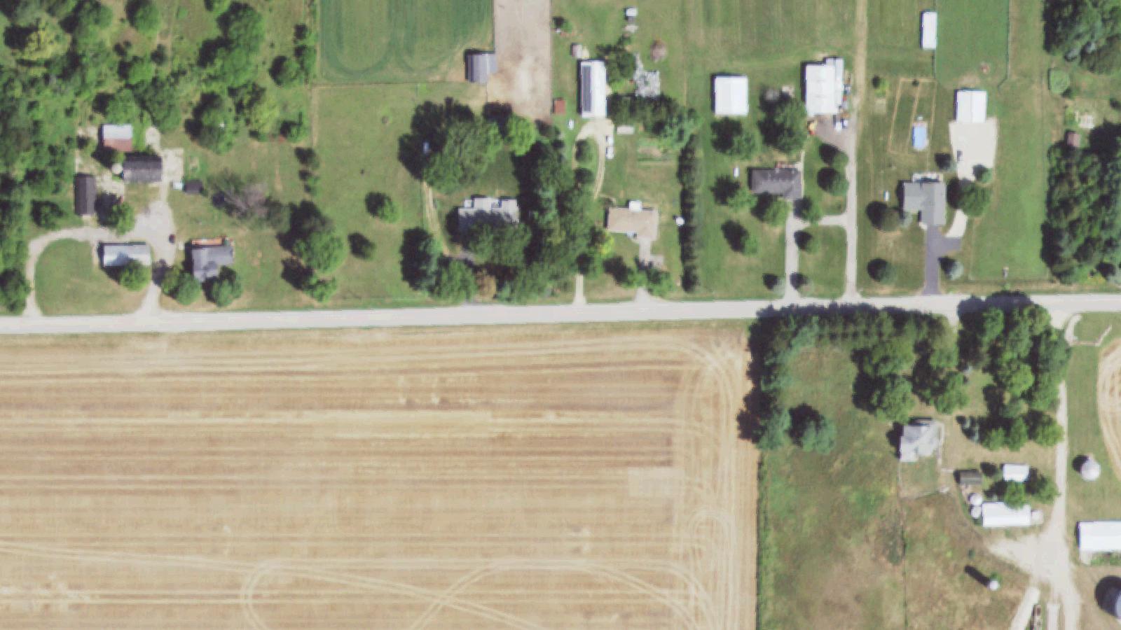
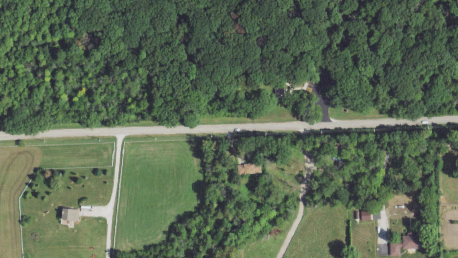
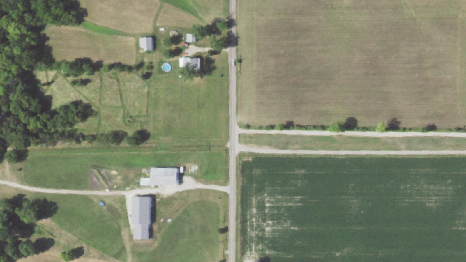
Blood Point Road extends 2.8 miles through Flora Township in Boone County, Illinois, running east-west from Pearl Street to Cherry Valley Road (County Road 15), approximately 6 miles south of Rockford. The road takes its name from Arthur Blood, an early settler in the Flora Township area during the 1830s, following the historical convention of naming geographical features after pioneer inhabitants.
Historical documentation confirms Arthur Blood as an early European-American settler in the Flora Township region. County historical records from "The Past and Present of Boone County, Illinois" (1877) establish Blood as a legitimate founding figure in the area's settlement pattern. The naming convention reflects standard frontier-era practice where roads, townships, and geographical features were commonly designated after prominent settlers and pioneers.
The road remains a paved rural county route traversing farmland landscape. Modern law enforcement in Boone County has increased patrols in the vicinity due to trespassing incidents and paranormal tourism activity, reflecting the area's significant folkloric reputation within regional paranormal culture. However, the empirical historical record contains no documented violent crimes, accidents, or tragedies specifically associated with the road itself.
Sources
- https://rockfordscanner.com/bloodspoint
- https://www.dangerousroads.org/north-america/usa/4375-bloodspoint-road.html
Phantom vehiclesApparitionsRed-eyed dogGravity anomaly
Blood Point Road's paranormal reputation rests primarily on several interlocking legends that have circulated within regional folklore for decades. The most prominent narrative describes a school bus full of children plunging off an associated bridge and killing all passengers in a tragedy that occurred "long ago." This story has become archetypal within paranormal tourism circles, with visitors reporting that vehicles placed in neutral allegedly roll mysteriously across the bridge location.
Paranormal researchers investigating the school bus claim found no documentary evidence—no newspaper accounts, school records, coroner data, or official reports substantiate any such incident. The apparent uphill rolling phenomenon has been explained through engineering analysis: the bridge features a deliberate drainage camber (slope) for water runoff that creates an optical illusion of upward motion.
Additional folklore involves phantom vehicles, including descriptions of a ghost car that chases visitors and disappears, phantom trucks, and a red-eyed dog that guards the bridge. Contemporary paranormal researchers with the Paranormal Rockford group documented that some local residents deliberately impersonate phantom vehicles using headlight tricks to discourage trespassers, contaminating witness reports and folklore.
A "Witch Beulah" legend was documented as migrating from Meridian Road west of Rockford before attaching itself to Blood Point Road folklore. Researchers including Michael Kleen traced the legend's origins to a different location, demonstrating the folkloric nature of its association with Blood Point Road.
The Boone County Sheriff's Department increased patrols to manage trespassing and vandalism driven by paranormal tourism, reflecting the area's disproportionate fame within paranormal culture relative to documented paranormal phenomena.
Notable Entities
The Ghost CarThe Red-Eyed DogThe Phantom Truck