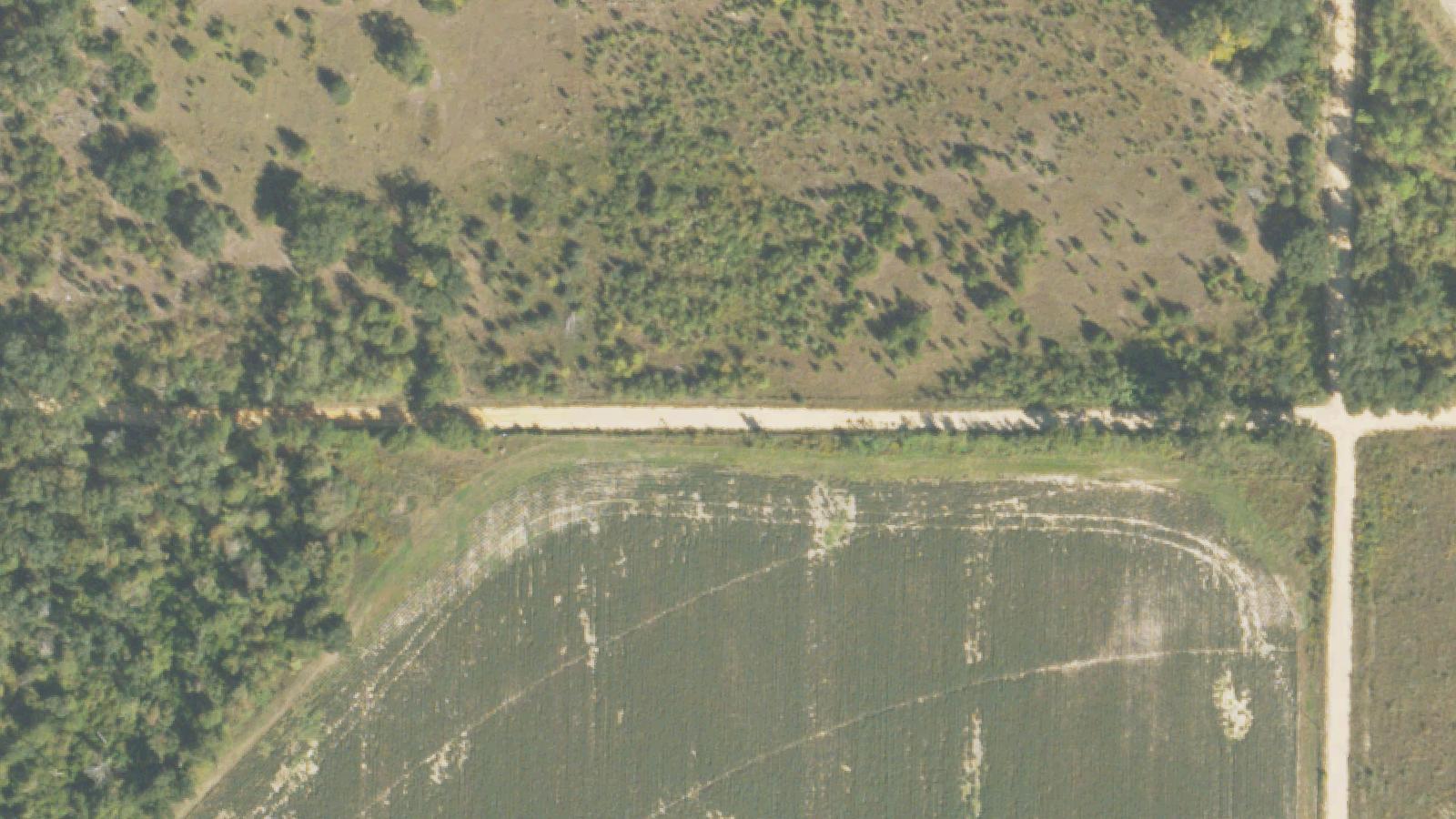
Rural road in Miller County, Georgia near White's Bridge, with Spring Creek visible in the distance
Photo coming soon
Outdoor / Natural Site

Mason Road and White's Bridge Area

Miller County Road Where Floodwaters Disturbed the Dead

Colquitt, GA

Age

All Ages

Cost

Free

Public road; no admission. Area includes private land — remain on public road.

Access

Limited Access

Rural unpaved and paved road sections; creek banks are uneven and may be muddy near Spring Creek

Equipment

Photos OK

ApparitionsShadow figures

The figure reported on Mason Road appears at dusk, walking east along the road in the direction away from White's Bridge. He walks with purpose. As a vehicle approaches, he vanishes — not stepping aside or turning, but simply ceasing to be present before the driver can close the distance.

The accounts connect this figure to the cemetery at White's Bridge, where Spring Creek's repeated flooding and recession over generations has disturbed the lower sections of the burial ground. The Post-Searchlight's 2011 coverage of the White's Bridge area documented local accounts of multiple paranormal phenomena near the bridge — a crying woman in the cemetery holding an infant, a ghost bride — and the broader framework of souls from disturbed graves moving through the landscape.

The racial specificity in the Mason Road account — a Black man, on a rural Georgia road — carries historical weight that the oral tradition does not explicitly address. Miller County was part of the Deep South agricultural economy; the cemetery's population would have included enslaved people and their descendants. The grave markers visible in the creek bed are not all legible, and some sections of the cemetery are overgrown.

Plan Your Visit

1 way to experience
Drive-By

Drive or Walk Mason Road and White's Bridge Area

Mason Road runs parallel to White's Bridge Road in Miller County, Georgia. The small church and cemetery at the southeast end of White's Bridge sit where Spring Creek has repeatedly flooded and receded over decades — historical accounts and photographs confirm that grave markers have been exposed on the creek banks. At dusk, witnesses have reported a figure of a man walking eastward on Mason Road who disappears as they approach.

Duration:
30 min

Sources & Further Reading

Every HauntBound history is researched from documented sources. We clearly separate verified historical fact from paranormal folklore.

  1. 1.thepostsearchlight.com/2011/02/28/whites-bridge-legends

Similar Destinations

Rural Ozarks road near Branson, Missouri, winding through wooded hillside near the former community of Garber
Photo coming soon
Outdoor / Natural Site

Noland Road

Branson, MO

Noland Road runs near the site of the former Ozarks community of Garber, a small settlement that existed in the Taney County hills before the modern Branson entertainment economy reshaped the region. The old trail that passed through here predates roads as they exist today. The postmistress of Garber, Ada Clodfelter, died when a mail thief burned her store. A church was built in Garber in 1927 but held only one service — her funeral — before being repurposed as the new post office.

$ All Ages Family: High
Magnolia Creek Lane near Lake Apopka in Lake County, Florida — a narrow single-lane road running on an old railroad bed
Photo coming soon
Outdoor / Natural Site

Magnolia Creek Lane

Montverde, FL

Magnolia Creek Lane is a single-lane road on the west side of Lake Apopka in Lake County, Florida. The road appears to follow the route of a former railroad bed. Researchers investigating the local legend found no historical evidence of a train wreck occurring at or near this road, and noted that any railroad through the area would likely have been a freight rather than passenger line.

$ All Ages Family: High
Blood Road dirt roadway, Metamora Michigan swampland
Photo coming soon
Outdoor / Natural Site

Blood Road

Metamora, MI

Metamora Township was formed in 1838 from the eastern half of Hadley Township in Lapeer County, Michigan. Named after the character Metamora from an 1829 theatrical production, the township developed as a lumbering and agricultural community. Blood Road itself was named after Norman B. Blood, a township supervisor in the 1850s.

$ All Ages Family: High

Frequently Asked Questions

Is Mason Road and White's Bridge Area family-friendly?
A rural road and creek area suitable for all ages. The visible evidence of flood-disturbed graves at the creek bank is the most compelling physical aspect of the site. The vanishing figure legend is mild. Overall family fit: High.
How much does it cost to visit Mason Road and White's Bridge Area?
Public road; no admission. Area includes private land — remain on public road. This location is free to visit.
Do I need to book in advance?
No advance booking is required, but checking availability is recommended.
Is Mason Road and White's Bridge Area wheelchair accessible?
Mason Road and White's Bridge Area has limited wheelchair accessibility. Terrain: Rural unpaved and paved road sections; creek banks are uneven and may be muddy near Spring Creek.