Est. 1916 · One of the shortest historic covered bridges built in Alabama · Last remaining historic covered bridge in Coosa County before its 2001 loss · Listed on the National Register of Historic Places (1990) and Alabama Register of Landmarks and Heritage (1977) · Destroyed by arson in 2001; documented in Alabama Department of Archives and History photographs
The Oakachoy Covered Bridge spanned Oakachoy Creek in a remote part of Coosa County, Alabama, on the unpaved portion of Newman Road off State Route 259, northeast of the community of Nixburg and roughly six miles southwest of Alexander City. According to the Encyclopedia of Alabama and county histories, it was built in 1916 by Melton Harris from homemade timber at a cost of about $400, providing a direct route between Rockford, the Coosa County seat, and Dadeville in Tallapoosa County.
The structure measured about 56 feet over a single span and used a modified Queen-post truss design, making it one of the shortest covered bridges ever built in Alabama. By the late twentieth century it was one of the last historic covered bridges remaining in the region. It was placed on the Alabama Register of Landmarks and Heritage on October 28, 1977, and added to the National Register of Historic Places on June 14, 1990.
The bridge was destroyed by arson on June 2, 2001, an act attributed to vandals, ending the existence of the only remaining historic covered bridge in Coosa County. It was formally removed from the National Register on September 23, 2001. Today only the stone abutments and a charred wooden post on the east bank survive at the crossing; the Alabama Department of Archives and History retains photographs of the bridge taken before its loss.
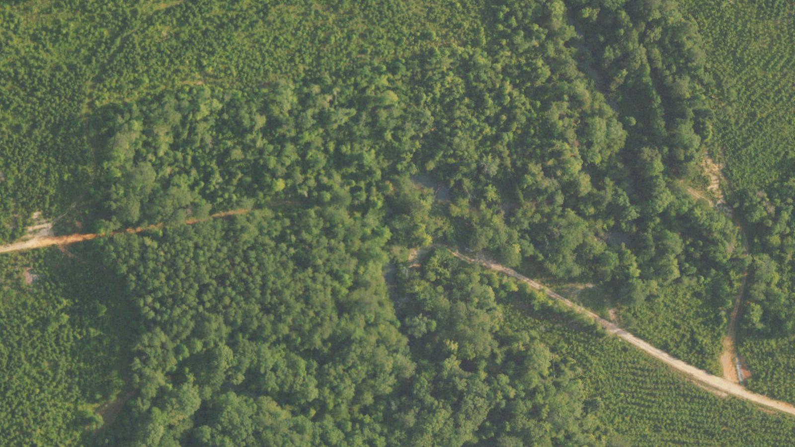
The site sits in a sparsely populated, heavily wooded area and is not a developed tourist destination. It is reached by a narrow dirt road and has no signage, parking, or facilities.
Sources
- https://en.wikipedia.org/wiki/Oakachoy_Covered_Bridge
- https://digital.archives.alabama.gov/digital/collection/photo/id/407/
- http://www.lakemartin.com/History_Oakachoy.asp
Door handles reported shaking on parked vehiclesEngines reported stalling without cause at the bridgeFlickering vehicle lightsA shadow figure reported in the woods after the bridge's destruction
The Oakachoy Covered Bridge appears in regional collections of Alabama ghost lore, including Rich Newman's book Haunted Bridges (Llewellyn, 2016) and the Southern Spirit Guide, which describe the site as haunted by the spirit of a Black man local legend says was lynched at or near the bridge. According to these accounts, drivers who stopped on the bridge at night reported door handles being shaken, dome lights flickering, and engines that stalled without explanation. After the bridge burned in 2001, the reported activity is said to have spread to the land and creek banks around the site, with some visitors describing a shadow figure moving through the trees (Newman, Haunted Bridges, 2016; Southern Spirit Guide).
This lynching origin should be read as folklore, not documented history. No primary record, newspaper account, or historical study identifies a lynching at this crossing, and the claim is internally inconsistent with the site's timeline: the bridge was not built until 1916, decades after the abolition of slavery in 1865, so the recurring 'a slave was hanged here' version cannot be literally true as told. Racial-terror lynchings were a real and devastating part of Alabama's history, documented by the Equal Justice Initiative and the Alabama Department of Archives and History, but no such event is verified for this specific location. We present the haunting as a documented piece of regional folklore attached to a real historic site, not as a confirmed account of a real person's death, and we name no individual.
Notable Entities
An unnamed figure local legend connects to a claimed lynchingA shadow figure in the surrounding woods
Media Appearances
- Rich Newman, Haunted Bridges (Llewellyn, 2016)