Sumter County Rural Heritage · South Carolina Cemetery History · Martin Town Community
Martinville Church Road traverses the Martin Town community in Sumter County, a rural area roughly southeast of the city of Sumter. The road carries the designation County Road 9. It is a working rural road through farmland, passing several historic church properties.
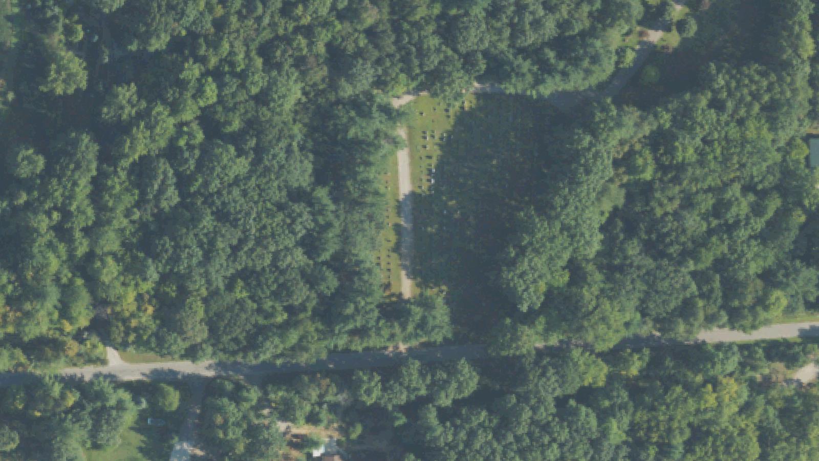
St. Paul Church Cemetery (also called St. Paul's Holiness Church Cemetery) occupies a position between Apple Hill Lane and Melton Lane on the road, at coordinates approximately 34°03'24.3"N, 80°17'51.3"W. New Covenant Presbyterian Church Cemetery, formerly Bethlehem Second Presbyterian Church Cemetery, lies further along the road near Melton Lane, at approximately 34.060352, -80.299876. Both cemeteries are documented by the Sumter County SC Cemetery GPS Project.
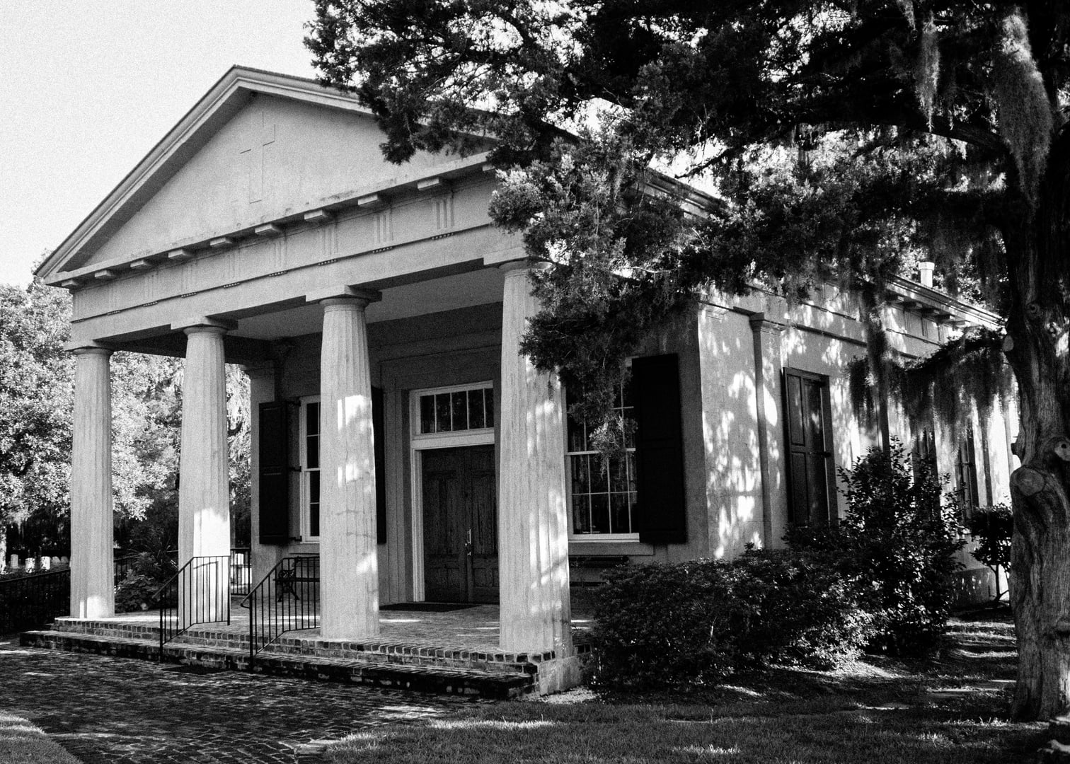
The specific church associated with the paranormal account — described as very old and unused with a cemetery behind it and a large iron gate at the cemetery entrance — has not been conclusively identified from public records. The description is consistent with several rural Sumter County church properties that ceased active congregation while retaining their structures and adjacent burial grounds.
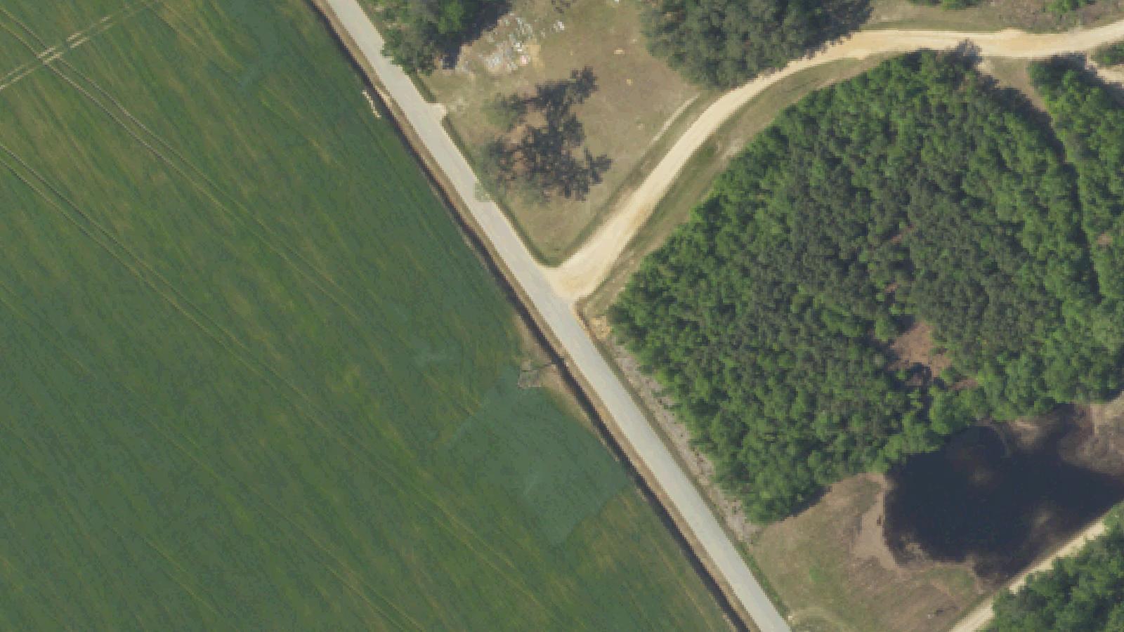
Martinville Church Road, also referred to as Martin Town Road, runs through the historic Martin Town Community in Sumter County. The St. Paul Pentecostal Holiness Church Cemetery sits along the north side of a cleared and mowed clearing on County Road #9 between Apple Hill Lane and Melton Lane, with its headstones lined up along the tree line and clearly visible from the road. The affiliated St. Paul Pentecostal Holiness Church is located at 129 West Moore Street in the City of Sumter.
Sources
- https://www.findagrave.com/cemetery/2708725/saint-paul-church-cemetery
- https://sites.rootsweb.com/~sccgpss/43-sumter.html
- http://www.cemeteryscgs.scgen.org/43-sumter.html
- https://ldsgenealogy.com/SC/Sumter-County-Cemetery-Records.htm
Phantom soundsCold spotsLights flickeringResidual haunting
The account attached to Martinville Church Road is spare in its documentation but consistent in its details across the single primary source. A group stopped at the cemetery entrance to explore the grounds. They heard singing from inside the church building. Through the windows, they observed faint lights. The temperature dropped sharply — a cold that felt incongruent with a July evening in South Carolina. The air, in the witnesses' description, felt heavy.
They returned to the car and left. As they pulled away from the church, every light inside the building went dark simultaneously.
The account does not name a source for the singing, attach a historical event to the phenomena, or provide any identifying information about the witnesses. No independent corroboration was found during research. The specific church has not been publicly identified in any source.
The physical description — unused church, cemetery with iron gate, rural Sumter County location — is consistent with the historically layered church landscape of the South Carolina Low Country, where churches that served small agricultural communities have often outlasted those communities by decades or more.