Civil War Battlefield · Battle of Gettysburg · National Military Park · Robertson's Brigade
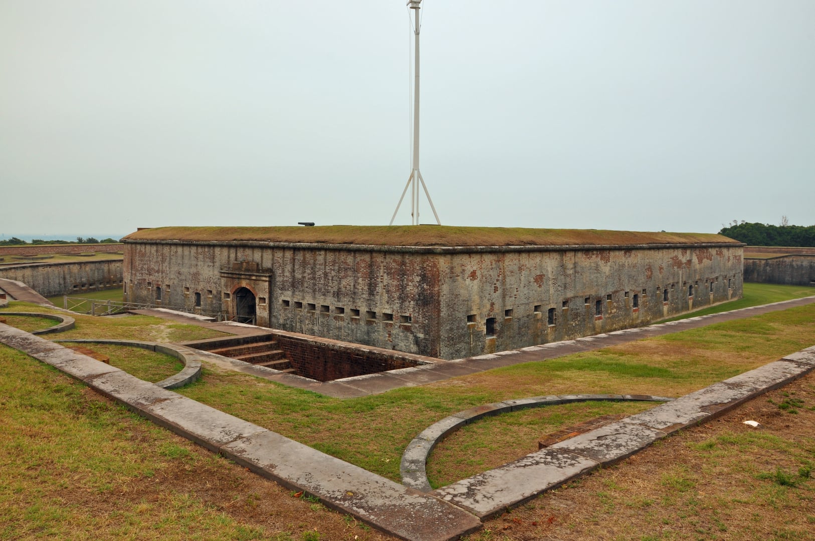
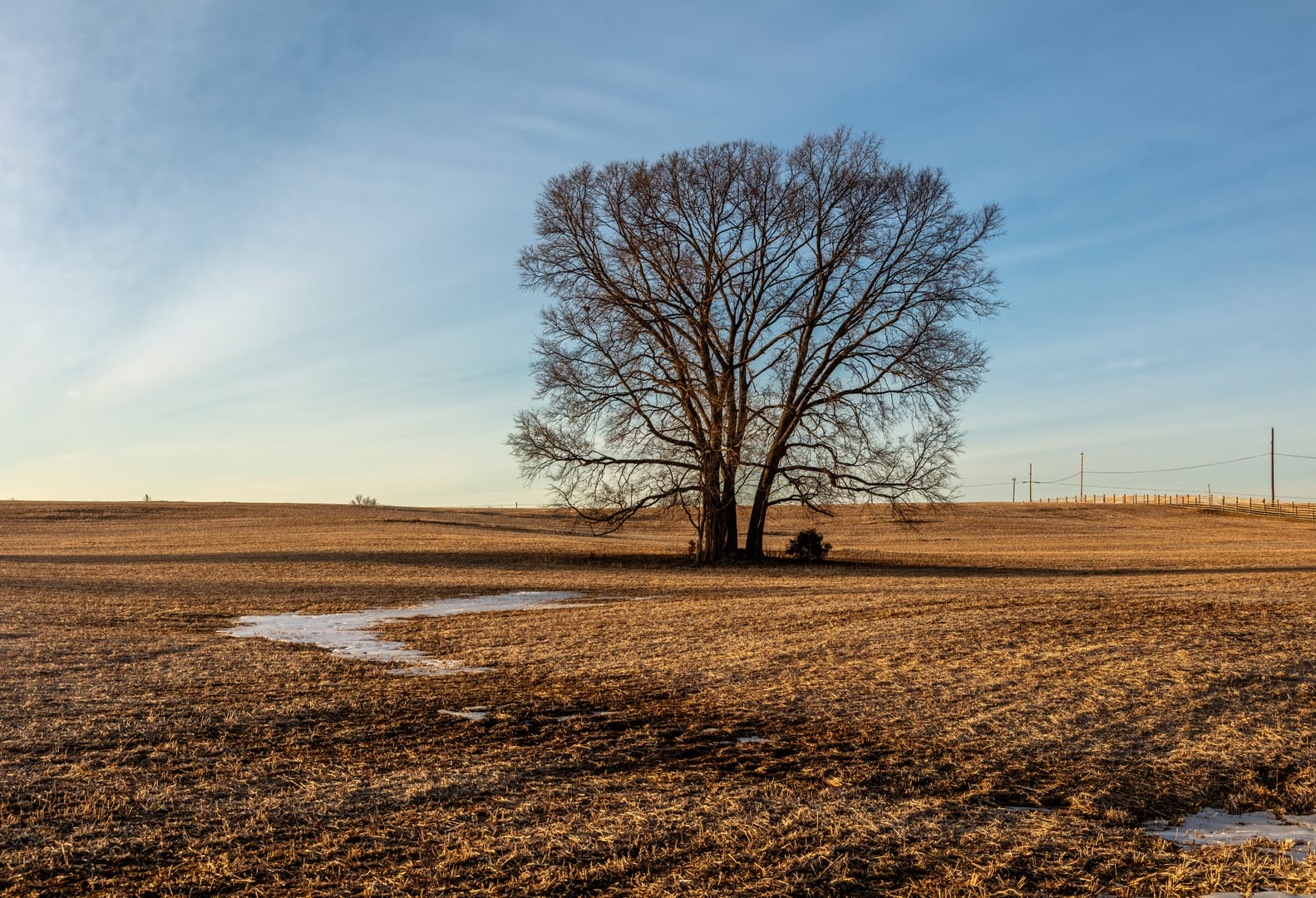
The Triangular Field sits within Gettysburg National Military Park on the southern end of the July 2, 1863 battlefield, just north of the boulder formation known as Devil's Den. The field is bounded on three sides by dry-laid stone walls roughly five hundred feet to a side, enclosing approximately three acres of sloping pasture.
On the afternoon of July 2, 1863, John Bell Hood's Confederate division attacked the Union left flank. Brigadier General Jerome B. Robertson's Texas Brigade, including the 1st Texas Infantry and the 3rd Arkansas Infantry, advanced across this ground toward Captain James Smith's 4th New York Independent Battery, positioned on Houck's Ridge above. The 1st Texas took cover behind the lower stone wall, returned fire on the battery, and then scaled the wall and pushed up the slope. After repeated charges, Confederate troops took the ridge and captured three of Smith's guns. The 3rd Arkansas suffered approximately 142 casualties in the fighting at Houck's Ridge and Devil's Den.
The Triangular Field has remained largely unchanged since the battle. The stone walls were rebuilt to wartime appearance during the park's preservation work, and the National Park Service installed wayside markers along Sickles Avenue including "Buying Time" and "Holding Houck's Ridge," added in 2021. Gettysburg National Military Park preserves the field as part of the larger 6,000-acre battlefield landscape established in 1895 and transferred to the National Park Service in 1933.
Sources
- https://en.wikipedia.org/wiki/Battle_of_Gettysburg,_second_day
- https://gettysburg.stonesentinels.com/confederate-headquarters/robertsons-brigade/
- https://www.nps.gov/gett/index.htm
- https://warfarehistorynetwork.com/article/what-happened-at-the-devils-den-at-the-battle-of-gettysburg/
ApparitionsPhantom soundsPhantom voicesEquipment malfunctionBattery drain
Within Gettysburg's larger reputation as one of the most-investigated paranormal landscapes in the United States, the Triangular Field is regularly singled out by licensed guides as the place where visitor electronics most consistently fail. Tour operators report that fresh batteries drain within minutes inside the stone walls, digital cameras produce blank or grey frames, and film cameras return overexposed or unrecognizable images. The pattern has been documented in print accounts and in tour-company materials for at least two decades.
Reported phenomena include disembodied rebel yells heard echoing across the field, the distant report of musket fire and Union cannon, and impressions in the grass that visitors describe as the outlines of advancing soldiers crawling toward Houck's Ridge. Sightings of Confederate sharpshooters along the lower rock outcroppings of Devil's Den and Union soldiers near the gate at the field's northern entrance recur in visitor accounts.
No single authoritative source corroborates a specific named witness, and the National Park Service does not endorse paranormal interpretation of the site. The phenomena are best understood as a persistent body of folklore attached to ground where roughly 800 men were killed or wounded over two hours of fighting.
Notable Entities
Confederate sharpshootersUnion soldiers at the gate
Media Appearances
- Ghost Adventures
- Most Haunted