Est. 1920 · Locally regarded as Oklahoma's 'original' Cry Baby Bridge · Set on Slick Road over Polecat Creek south of Kellyville · Cited as the source of copycat legends in Kiefer, Schulter, Catoosa and other towns · Original bridge demolished and road re-routed; only the creek crossing remains
Kellyville is a small town in Creek County, Oklahoma, south of Tulsa along the historic Route 66 corridor. It is associated with what residents and regional folklore call the 'original' or 'real' Cry Baby Bridge in Oklahoma — the wellspring from which copycat versions in Kiefer, Schulter, Catoosa, and elsewhere are said to descend.
The legend was set at a bridge crossing Polecat Creek along Slick Road, south of the town. As documented by regional outlets including the Muskogee Phoenix and the Route-66 travel site, the original bridge is no longer standing and the road has since been completely re-routed, leaving only the creek crossing and the surrounding rural landscape.
The 'Cry Baby Bridge' motif — a mother and child dying in or near a bridge, after which the baby's cries can be heard at night — is one of the most widespread urban legends in the United States, with dozens of Oklahoma examples alone (Alderson, Bixby, Checotah, Heavener, Lawton, Pryor, Vinita, and more). Kellyville's claim to being the original gives this particular site its standing in Oklahoma folklore, even though, like all such legends, the underlying events are undocumented.
Sources
- https://www.muskogeephoenix.com/columns/remember-the-ladies-legend-of-crybaby-bridge/article_7a5ed00e-043f-473e-a031-124f9e1d7399.html
- https://www.theroute-66.com/kellyville.html
- http://mystorical.blogspot.com/2015/10/oklahomas-cry-baby-bridges.html
- https://herbagemag.com/creepy-things-to-experience-in-oklahoma-series-crybaby-bridges/
- http://oklahomaparanormal.blogspot.com/2008/04/no-there-is-no-real-oklahoma-crybaby.html
- https://angelsghosts.com/cry_baby_bridge_scary_ghost_story
Soft glowing blue light interpreted as a searching motherSounds of a woman or child near the creek at nightUnexplained engine or electrical trouble while crossing
According to the Kellyville version of the Cry Baby Bridge legend, a woman and her child were driving down Slick Road — in some tellings, fleeing her husband — when she lost control and drove off the bridge into Polecat Creek below. The baby's body was reportedly never recovered. Some accounts date the event to the 1950s, and several place it near the end of October, around Halloween.
The original legend, as recorded in the anonymous submission and echoed by regional sources, states that visitors can sometimes hear or see the woman still searching for her baby, manifesting as a soft, glowing blue light moving near the former bridge site. Numerous accounts describe people visiting near midnight and experiencing unexplained engine or electrical trouble while crossing — a hallmark of the broader Cry Baby Bridge tradition.
No named individuals and no documented drowning underlie the story, which is typical of Cry Baby Bridge legends. We present it as Oklahoma's best-known example of a widely shared folk legend rather than as an account of verified events.
Notable Entities
The 'crying' mother and lost child (unnamed, folkloric)
Media Appearances
- Muskogee Phoenix column
- Route-66 travel site
- Mystorical folklore blog
- Herbage Magazine 'Creepy Things' series
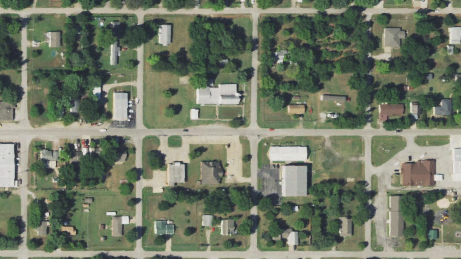
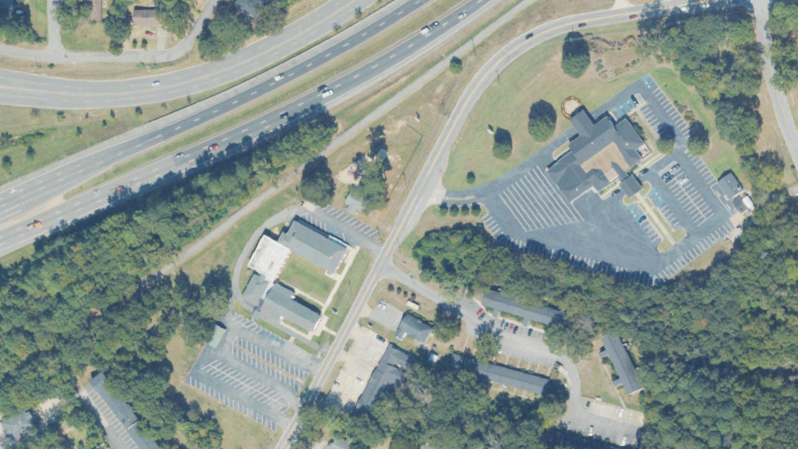
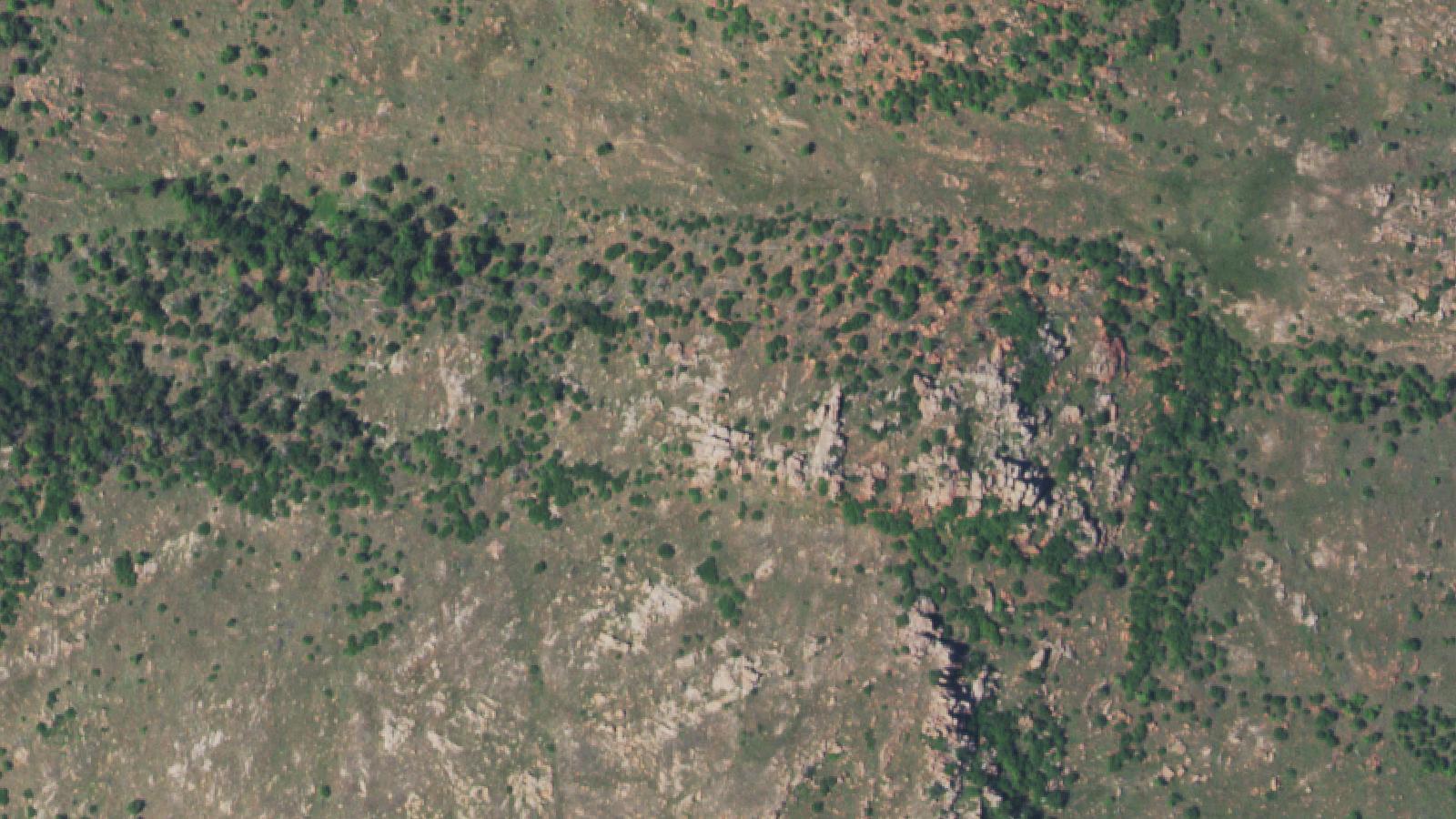 Aerial survey · USDA NAIP