Est. 1856 · Civil War Era Ohio · Coal Mining History · Vinton County History · Ohio Ghost Towns
Moonville emerged in the mid-1850s as a railroad support community in southeastern Vinton County, Ohio. The settlement grew to roughly 100 residents, with infrastructure typical of small mining towns: a school, post office, general store, train depot, and saloon. The surrounding land was rich in coal and clay, and the community's mining operations produced materials that fed the Civil War's industrial demand.
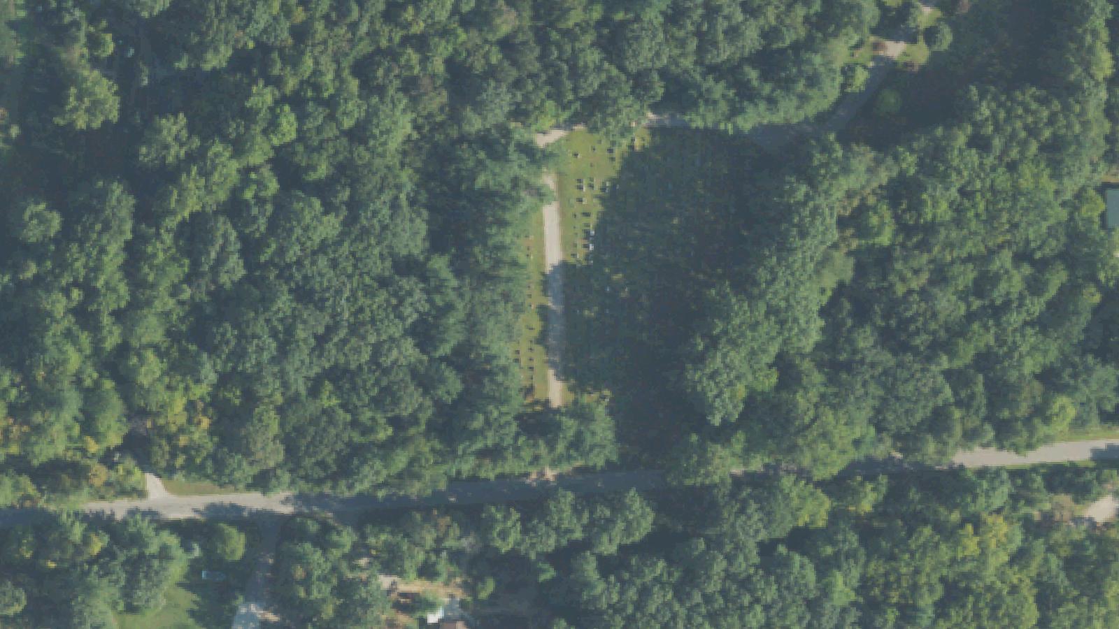
The cemetery accumulated the burials of residents across the community's active decades. At least 13 marked graves remain identifiable, though vandalism and falling trees have reduced the number of legible headstones over time. The cemetery sits in the woods off Lawrence Road, accessible via a foot path.
Moonville's decline followed the pattern of resource-dependent communities: as the economically accessible coal and clay gave out, the reason for the settlement's existence disappeared. Population dropped steadily through the late nineteenth and early twentieth centuries. The last family departed by 1947, leaving behind the cemetery, a few stone foundations, and the famous railroad tunnel.
The Moonville Tunnel remains the area's most prominent surviving structure and the nucleus of its paranormal reputation. The tunnel and cemetery together draw visitors who make the walk through the Zaleski State Forest.
Sources
- https://en.wikipedia.org/wiki/Moonville,_Ohio
- https://www.moonvilletunnel.net/The_Moonville_Cemetery.htm
- https://digging-history.com/2013/11/13/ghost-town-wednesday-moonville-ohio/
Disembodied screamingPhantom soundsResidual hauntingApparitions
The Moonville cemetery occupies a position within a broader landscape of ghost lore centered on the tunnel and railroad corridor. The cemetery's own accounts describe nighttime acoustic phenomena: screams, rhythmic drum sounds, and close breathing, all reported by visitors walking through the graveyard after dark.
Moonville's better-documented paranormal tradition centers on the nearby tunnel, where four named figures are associated with railroad fatalities. The Engineer, killed in a crash in 1880 — a death documented in period newspaper accounts — is the most historically grounded. The Brakeman, the Lavender Lady, and the Bully round out the local roster. The Bully is believed by some to be Baldie Keeton, a Moonville resident found dead on the tracks under circumstances suggesting violence rather than accident.
The cemetery's auditory phenomena haven't been anchored to specific named individuals, which makes them harder to evaluate but gives them a different character — ambient rather than individual, residual rather than interactive.
The combination of ghost town archaeology, Civil War burial history, and active trail makes Moonville one of the more contextually layered paranormal destinations in southeastern Ohio.
Notable Entities
The EngineerThe BrakemanThe Lavender LadyThe Bully (Baldie Keeton)