Pine Barrens ghost town — settled early 18th century, abandoned 1936 · Documented early 20th-century disappearance (Mrs. Chininiski) and skeleton discovery · Origin of one of the earliest known internet conspiracy theories (Incunabula Papers, 1990s)
The name itself is contested. The dominant tradition holds that a man named Ong — known for his dancing and his silk hat — threw the hat into a tree in frustration after an altercation at a local dance, and it stayed there long enough to name the place. An Ong family descendant offered an alternative: the settlement was originally 'Ong's Hut,' named for a way-station shelter the family built during grain-hauling trips through the area. The two explanations have circulated in parallel for generations.
The village itself was a modest affair — four or five houses, a tavern, and the kind of transient population that made Pine Barrens settlements precarious. It depended on the charcoal, iron, and glass industries that the Barrens supported in the 18th and 19th centuries. When those industries declined, so did the settlements. Ong's Hat contracted steadily through the late 19th and early 20th centuries.
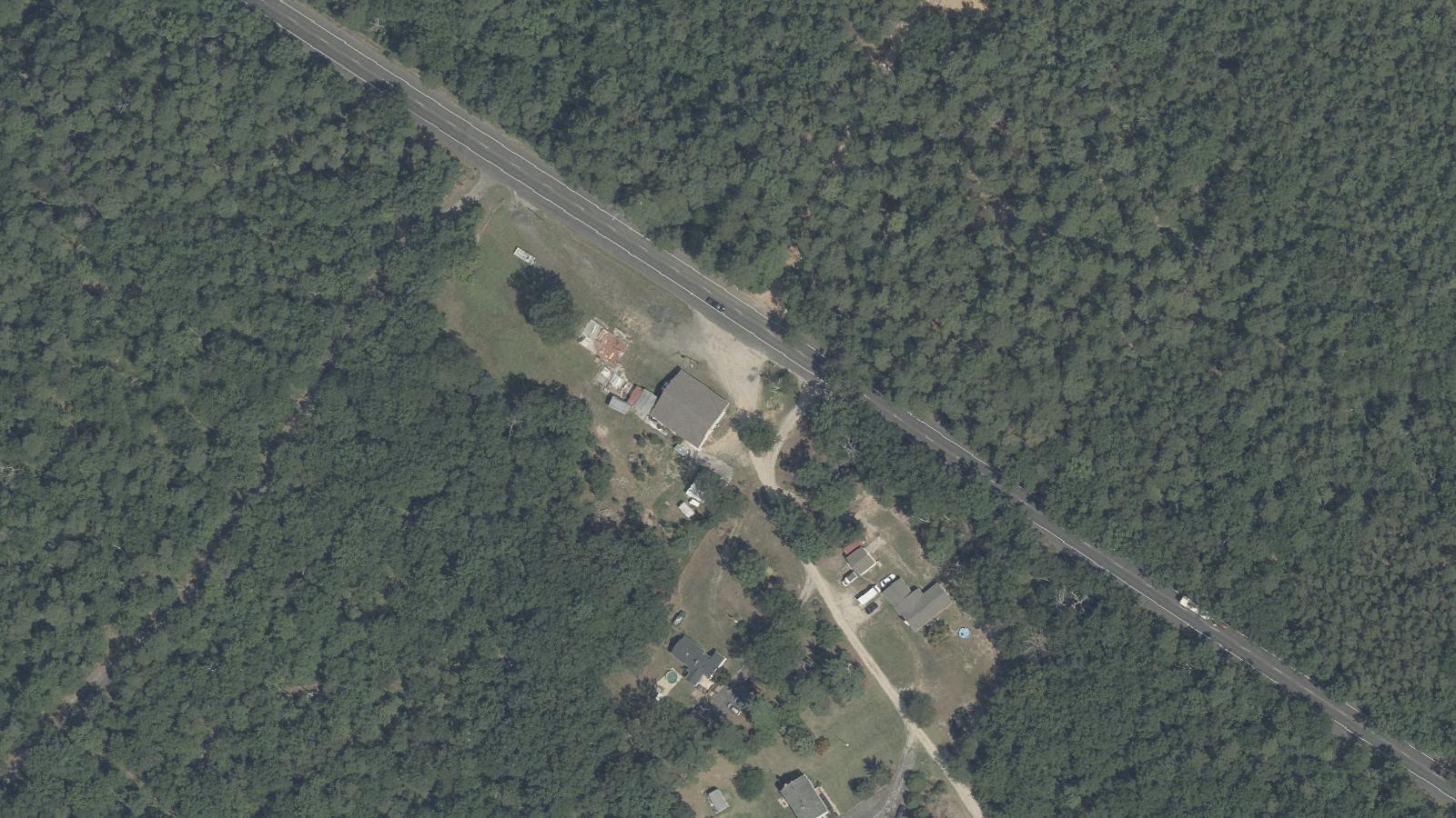
In the early 20th century, a Polish resident known as Mrs. Chininiski disappeared without explanation. The disappearance was never formally resolved, and the settlement's isolation made investigation difficult. A female skeleton was later discovered at the site; whether it was connected to Chininiski or represented a separate death was never established. The last documented resident left in 1936. What remains today is rubble, overgrown foundations, and sandy soil on Magnolia Road in Burlington County.
Sources
- https://en.wikipedia.org/wiki/Ong%27s_Hat,_New_Jersey
- https://www.njpinebarrens.com/a-hat-a-hut-or-a-tavern-the-tale-of-ongs-hat/
Spectral figuresPhantom footstepsMysterious lightsCold spotsElectromagnetic anomalies
The standard paranormal reports at Ong's Hat — spectral figures, phantom footsteps, cold spots, lights with no visible source — fit the pattern of active Pine Barrens haunted sites, and the documented history of a disappearance and a skeleton discovery gives them some grounding. Independent visitors describe a persistent unease in the ruins, and accounts of electromagnetic anomalies have been collected by investigators who treat the site as genuinely active.
The Incunabula Papers added a different layer of legend. In the early 1990s, a figure using the name Joseph Matheny posted an elaborate book catalog online claiming to document a group of Princeton University researchers who had retreated to Ong's Hat and successfully developed a device — called 'The Gate' — that enabled interdimensional travel. The catalog described experiments in brain-wave manipulation using a device called 'The Egg,' test subjects who materialized in alternate dimensions and returned, and a government crackdown that scattered the community into other realities.
The hoax — or 'interactive fiction,' as Matheny later described it with studied ambiguity — spread widely before the mechanics of internet rumor were well understood. Believers visited Ong's Hat expecting physical evidence of the experiments. Matheny acknowledged the fictional elements selectively, allowing the ambiguity to generate its own momentum. Academic researchers eventually documented the Incunabula Papers as among the earliest known internet conspiracy theories. The ruins of Ong's Hat became a pilgrimage site for a community that formed around the fiction before either group had a name for what they were doing.
Media Appearances
- Weird NJ — Ong's Hat feature (Magazine / Book)
- The A.V. Club — 'The internet's first conspiracy theory involved a ghost town in New Jersey' (Online article, 2019)
Where this legend is told