Est. 1956 · General Aviation History · Mid-Century Airfield Development · Industrial Contamination
Aero-Haven Airport emerged from local aviation enthusiasm in the mid-1950s. The original site consisted of a single north-south runway clearing cut from surrounding woods, visible in 1956 aerial photography. Bill Kennedy and associates led the development of this grassroots aviation facility, which eventually grew into a more formal operation.
By 1961, Aero-Haven Airport was formally dedicated as a private aviation facility. Aerial photography from 1963 shows the airport in its expanded form: a 2,800-foot paved northeast-southwest runway, paved taxiway, ramp systems, and multiple hangars with a dozen aircraft parked on the western side of the field. The facility became an active hub for general aviation in southern New Jersey.
However, the airport struggled financially throughout its operational years. Its financial troubles culminated in 1967 when the property was sold at a court-supervised auction to a Philadelphia real estate developer for $257,000, according to press reports. The last aeronautical chart documentation of Aero-Haven appeared on the February 1975 Philadelphia Terminal Aeronautical Chart.
Following the airport's closure and abandonment, the site's paved surfaces and runways were dismantled. During the 1960s and 1970s, waste from a glass manufacturing company was in-filled into and around the former runway areas—waste that later proved to contain asbestos contamination. Today, the site appears as overgrown, undeveloped land with the former runway infrastructure buried beneath vegetation and contaminated soil. Portions of the former airport property have since been designated for environmental preservation and restoration efforts.
Sources
- https://www.airfields-freeman.com/NJ/Airfields_NJ_SW.htm
- https://forums.njpinebarrens.com/threads/aerohaven.14205/
- https://www.70and73.com/news/solar-project-wants-to-revise-its-plans-for-old-aero-haven-airport-property-in-evesham/article_b1e3d5de-7313-11ec-bf4a-13e1b5ff1e33.html
ApparitionsUnexplained visual phenomena
The paranormal reputation of the abandoned Aero-Haven Airport centers on visual apparitions reported on the former runway and surrounding grounds. Residents of the Marlton-Evesham area report encountering spectral figures walking or standing on the overgrown airport infrastructure, particularly in the area where the main runway once lay.
These sightings are described as distinctly visual phenomena—witnesses report seeing solid-appearing figures in the landscape, some occasionally interpreted as aviators or airport workers in period clothing consistent with the 1960s-era operation. The apparitions are non-threatening and appear to move through the landscape without aggression.
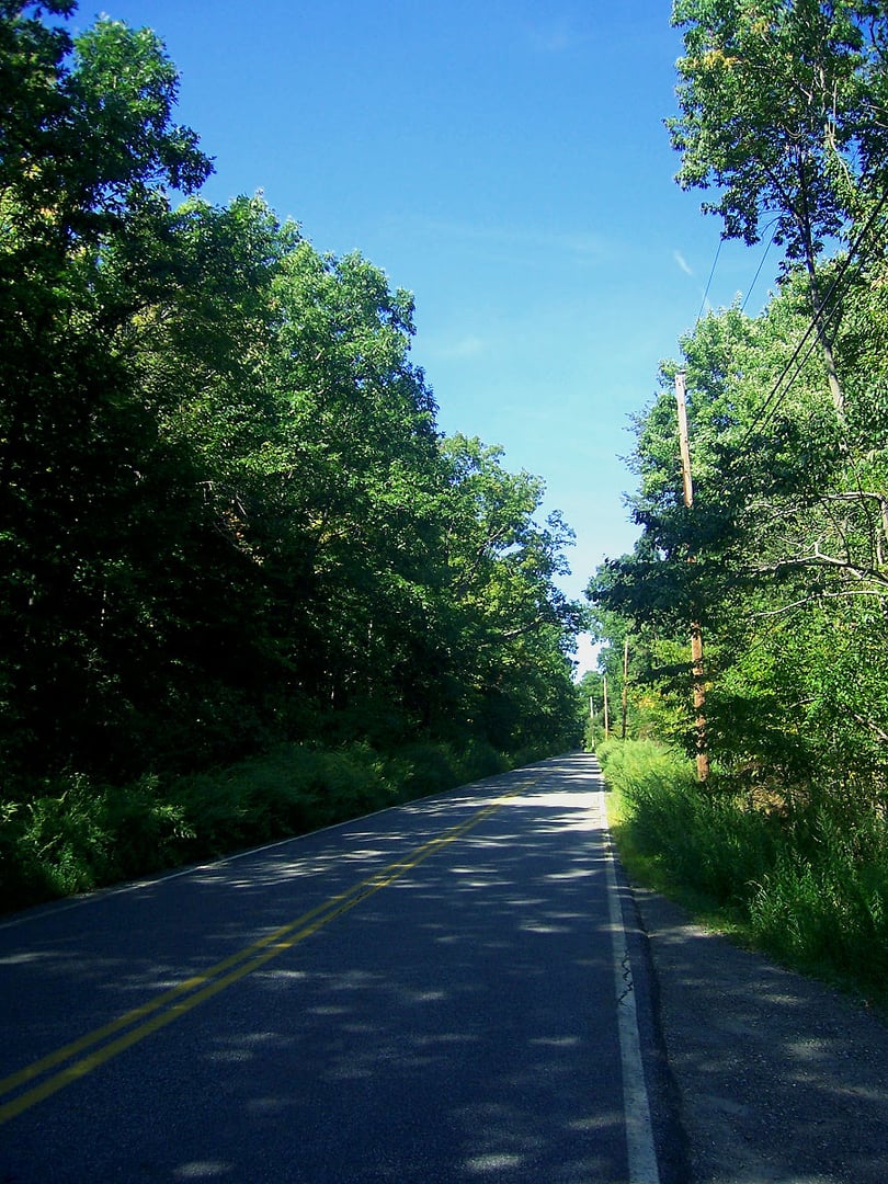
Most significantly, these sightings have created a secondary paranormal phenomenon: vehicle accidents on Kettlerun Road. Drivers traveling the road report encountering the spectral figures and attempting to evade them by braking suddenly or swerving. Local residents firmly believe that the cluster of accidents on Kettlerun Road—accidents that would otherwise seem unexplained—result directly from drivers' attempts to avoid the perceived ghosts.
Legend holds that a former airport employee returned to the site and set it on fire as an act of arson, though police investigation found no definitive evidence for this claim. Some local folklore suggests this arson event and its presumed fatalities anchored the haunting to the location. However, no verified records of such an incident exist in available historical documentation.
Alternatively, the haunting may relate to the site's industrial contamination and abandonment—a residual imprint of the airport's productive era lingering in a now-desolate landscape. The transition from active aviation hub to contaminated wasteland creates a poignant historical discontinuity that paranormal theories attempt to explain.
Notable Entities
The Airport WorkersThe Aviator Apparitions