Shawnee National Forest Access Road · Local Accident History
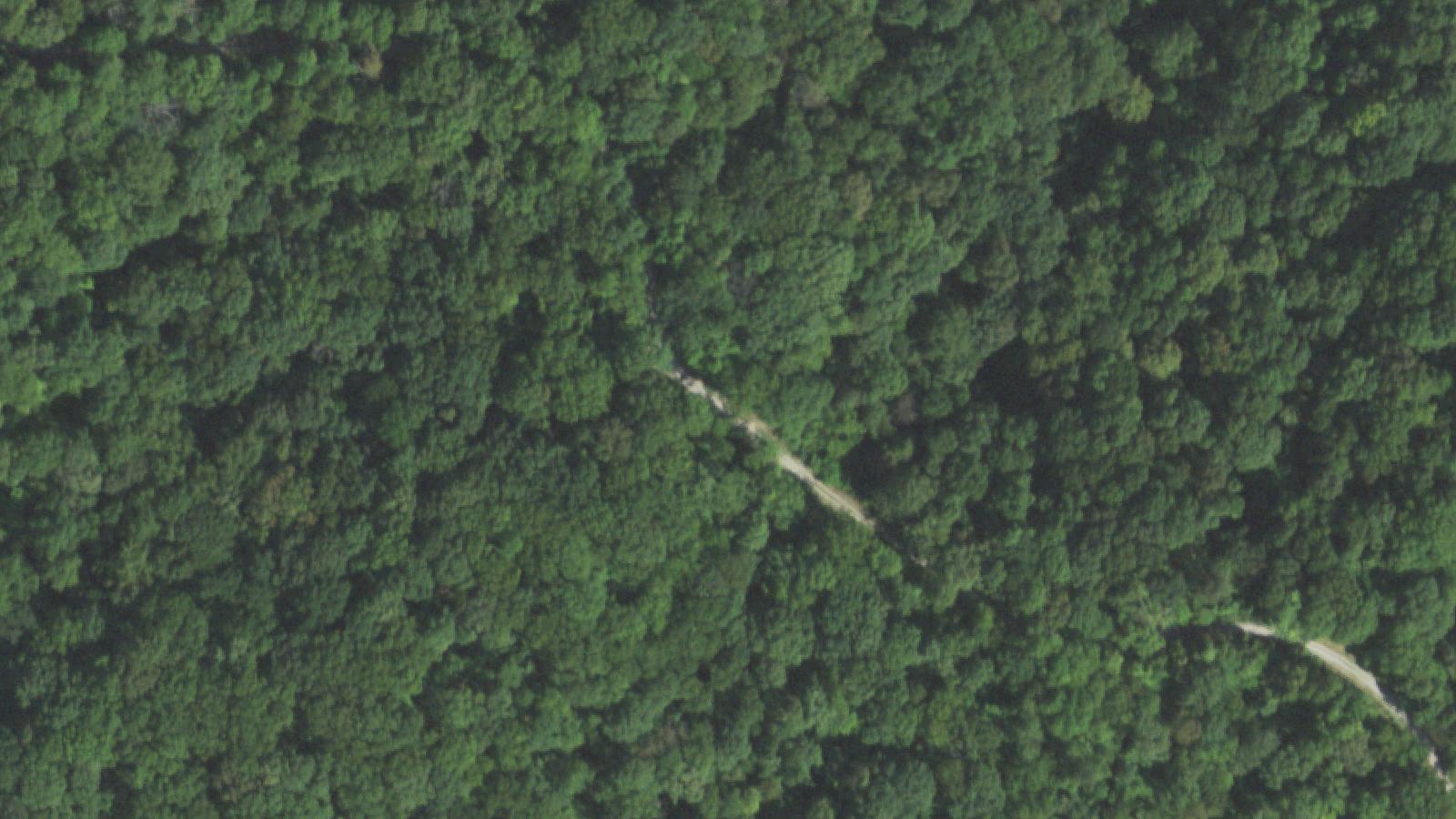
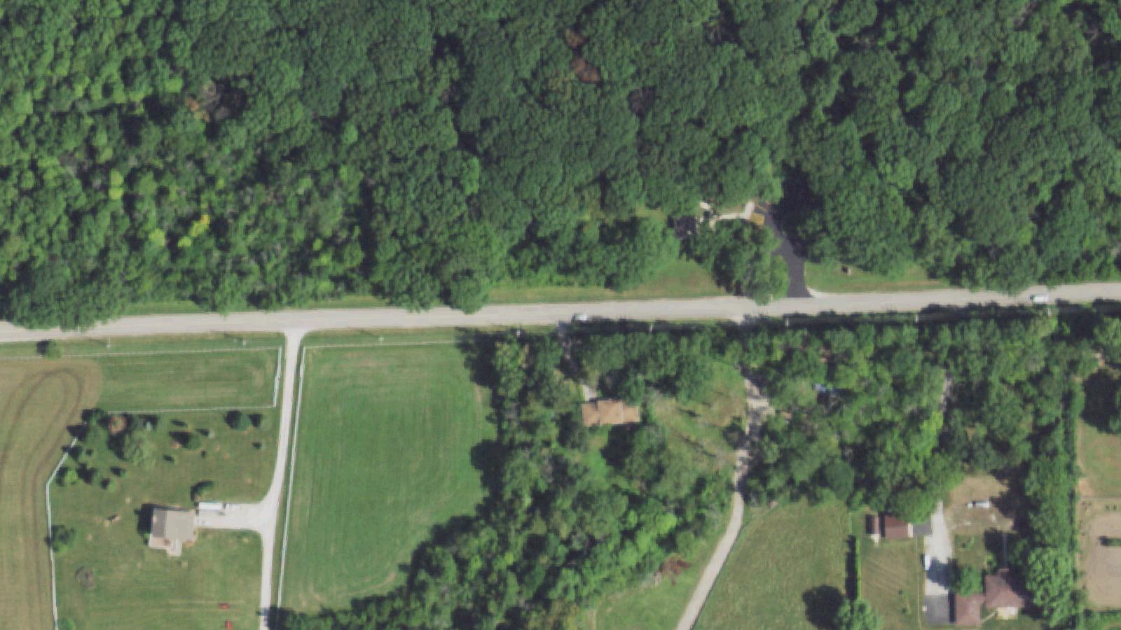
Grapevine Trail is a rural road in Alexander County, southern Illinois, near the small community of McClure. The road's name reflects its many tight, vine-like curves. The route is also crossed by an active railroad, which has historically added difficulty for unfamiliar drivers.
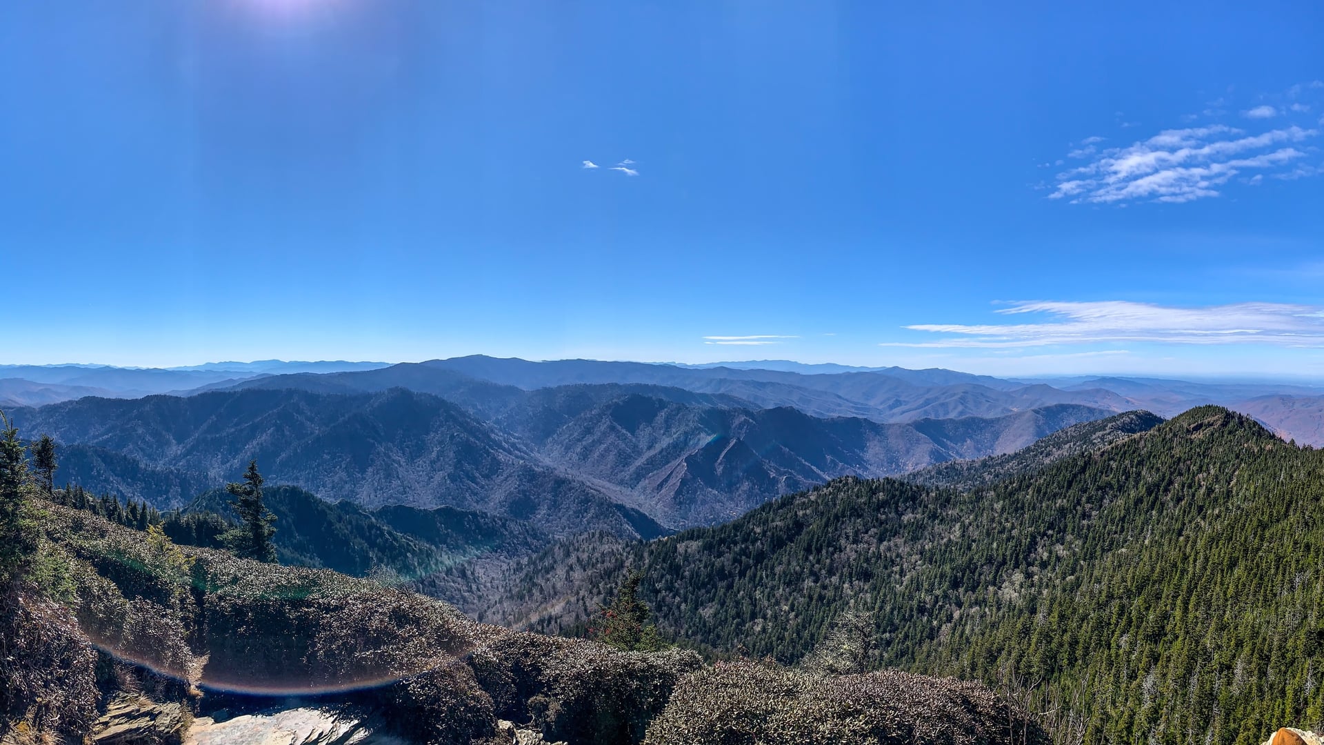
The road provides access to a scenic section of the Shawnee National Forest, including the Horse Creek Hiking Trail, located off Grapevine Trail approximately twelve miles from Cape Girardeau, Missouri. The Shawnee National Forest's Mississippi Bluffs district has long been a destination for hikers and motorists exploring southern Illinois's distinctive bottomland and bluff terrain.
The Shadowlands narrative refers to the road as the location of fatal accidents involving teenagers. The Dead Man's Curve nickname is locally established and reflects actual accident history; specific high-profile cases on this stretch are not centrally documented in available sources. A more famous Dead Man's Curve in Illinois - the one on Route 66 at Towanda in McLean County - is in a different region and not the same site.
Sources
- https://www.semissourian.com/blogs/pavementends/entry/38670
- https://www.hikingwithshawn.com/horse-creek-trail-guide/
Phantom soundsPhantom screaming
The Grapevine Trail folklore follows a pattern common to American haunted-road traditions: a documented accident history, a specific time of night, and an auditory rather than visual replay of the crash event. Visitors report driving the curves around midnight and hearing the sound of tire screeching, an impact, a woman's scream, and then an explosion.
No specific named victims attach to the lore in available sources; the story functions as a generalized road-crash legend rather than as a specific named memorial. The actual accident history of the curves is real, and the road is genuinely dangerous; the legend has the practical effect of encouraging more cautious driving.
Hauntbound presents the lore as community oral tradition. The Shawnee National Forest setting and the Horse Creek Trail access give the road documented daytime value as an outdoor-exploration destination.