Est. 1781 · Second Battle of Camden (April 25, 1781) · Major engagement in Greene's Southern Campaign · Led directly to British evacuation and burning of Camden · Witnessed by future President Andrew Jackson (then a prisoner of war)
By April 1781, Nathanael Greene had turned the strategic situation in the South without winning a battle. His strategy was attrition: force the British to fight costly engagements that drained their strength even when they won. Hobkirk's Hill, five miles north of Camden along what is now US Hwy 521, was the next test.
On the morning of April 25, Greene's Continental Army of roughly 1,400 moved on the British garrison, surprising a portion of Rawdon's force on the ridge. The Americans initially drove back the British advance and began to envelop their flanks. Then, in a sequence that Greene's officers blamed partly on a misunderstood order to withdraw and partly on the collapse of Maryland regiment discipline, the American line fractured. Rawdon counterattacked and the Continental forces fell back. Casualties on both sides were heavy for the engagement's scale: 19 Americans killed, 113 wounded, 89 captured; 39 British killed and 210 wounded.
Future U.S. President Andrew Jackson witnessed the engagement while held as a prisoner of war in Camden's district jail, at age fourteen.
Despite the tactical British victory, Rawdon recognized Camden was indefensible without reliable supply lines. He burned the town and marched his troops south in May 1781, ending British occupation of the South Carolina interior. Hobkirk's Hill was, in that sense, the last major confrontation of a campaign the British were already losing.
Sources
- https://en.wikipedia.org/wiki/Battle_of_Hobkirk%27s_Hill
- https://experiencecamdensc.com/visitors/what-to-do-page/historic-sites/battle-of-hobkirks-hill/
- https://www.mpd.coop/news-releases/haunted-pee-dee/
Apparition of a headless horseman on full moon nightsHorseman reported emerging from the Black River swamp edge
The headless horseman of Hobkirk's Hill follows a documented pattern of battlefield ghost lore in the Pee Dee: a soldier killed in a manner that severs identity — in this case literally — becomes a recurring figure in the landscape. The account, preserved in the Pee Dee Cooperative's regional dark-tourism feature, describes a cannon shot that decapitated a mounted soldier mid-battle. His horse panicked and ran into the Black River swamp, carrying the body out of reach.
The legend attaches the apparition to full moon nights specifically. Witnesses or tradition-bearers describe the horseman as emerging from the swamp edge and crossing the terrain where the 1781 engagement took place, before disappearing again. The Black River, which runs through Kershaw and Lee counties east of Camden, was a known refuge during the Revolutionary War for both Marion's partisans and fleeing soldiers.
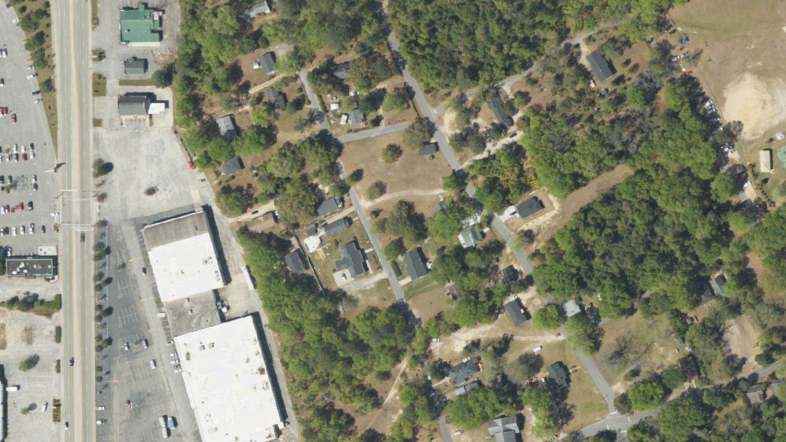
The battlefield itself is now a residential corridor along US Highway 521, which changes the experience of the legend: the swamp edge and the cleared hill where troops maneuvered are now mostly built over, and the wayfinder signs pointing to the engagement do not reference the ghost tradition. The story belongs to the older oral register of the area, maintained by regional publications like the Pee Dee Cooperative rather than heritage tourism infrastructure.
Notable Entities
Unknown decapitated mounted soldier