Est. 1865 · 1860s pioneer cemetery · Vanished town of Rock Point · IOOF and Pioneer sections · Southern Oregon settlement history
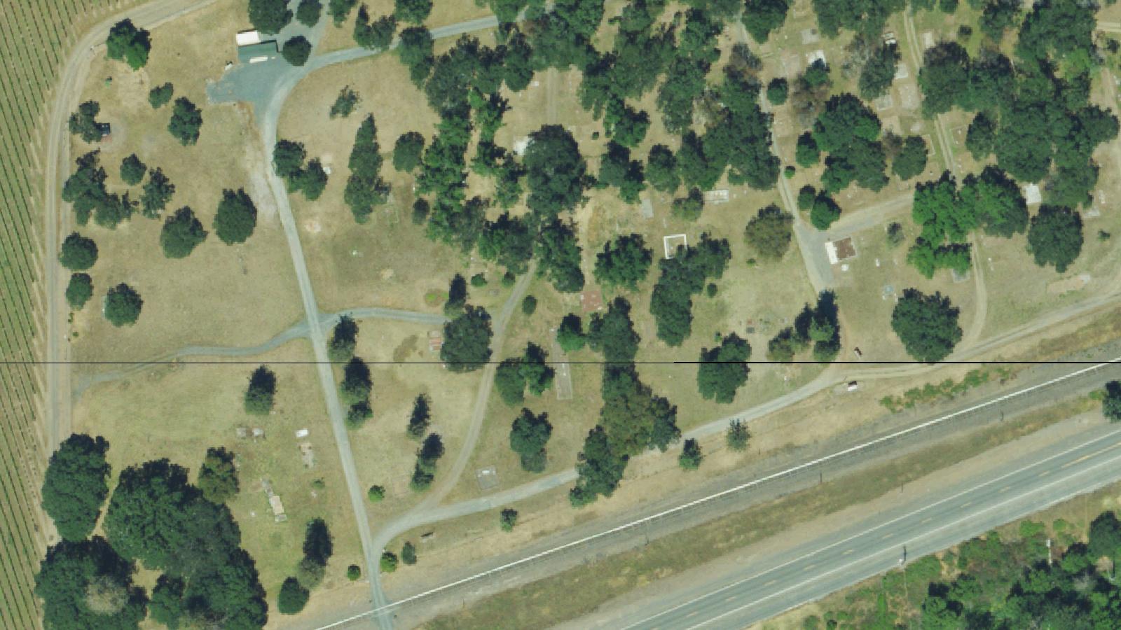
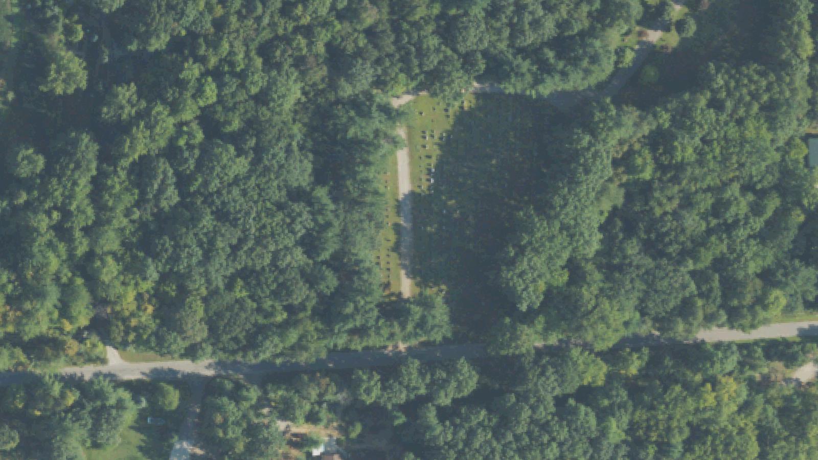
Rock Point Cemetery sits near Gold Hill in Jackson County, Oregon, on land tied to the 19th-century settlement of Rock Point. The cemetery was established in the 1860s on roughly 26-and-a-half acres donated by the White family near their stagecoach stop along the Rogue River corridor, with the Birdseye family also among the founders of the community burial ground.
The site grew to contain more than 1,000 graves. Around 1900, part of the cemetery land was deeded to the Independent Order of Odd Fellows (IOOF), and that section was maintained with regular lot designations and caretaking. The remaining portion, which became known as the Pioneer Cemetery, declined over the years and grew overgrown.
The town of Rock Point itself eventually disappeared from the map, but the cemetery endured as one of the most important surviving records of early settlement in the area. Markers in the pioneer section document families who arrived during the stagecoach and early-statehood era of southern Oregon.
Local historical and genealogical groups have organized cemetery tours and preservation efforts in recent years, and burial records for the site are maintained through volunteer transcription projects. The cemetery remains accessible to respectful visitors interested in regional pioneer history.
Sources
- https://www.findagrave.com/cemetery/39353/rock-point-pioneer-cemetery
- https://www.interment.net/data/us/or/jackson/rockpoint/index.htm
- https://www.oregonhauntedhouses.com/real-haunt/rock-point-cemetery.html
- https://jacksonvillereview.com/rock-point-cemetery-tour-sunday-july-10-11am/
Lantern-carrying hooded figureGreen fogStrange lights and soundsVictorian-era apparitionsPhantom lilac scent
Rock Point Cemetery carries a long-standing haunted reputation in southern Oregon folklore. The most repeated story describes a dark, hooded figure carrying a lantern who wanders among the graves and vanishes when anyone approaches too closely. Accounts also describe figures in Victorian-era clothing appearing and disappearing, including a spectral woman said to be accompanied by the strong scent of lilacs.
Other reports collected by regional ghost-lore sites mention strange lights, unexplained sounds, and a greenish fog seen drifting through the grounds. Some of the more dramatic versions claim the fog has cracked the windows of passing cars and that fire appears to leap from the older crypts, though these claims are uncorroborated and circulate mainly through aggregator listings.
A recurring local explanation ties the cemetery's reputation to the nearby Oregon Vortex in Gold Hill, a roadside attraction that has marketed itself around optical and gravitational oddities since the 1930s. Linking the cemetery hauntings to the Vortex is a folk-explanation rather than a documented connection.
These paranormal traditions are best treated as enduring local folklore attached to a genuinely historic pioneer cemetery, rather than verified events. The cemetery's real value lies in its preservation of southern Oregon's settlement history.
Notable Entities
Hooded lantern figureWoman in Victorian dress