Drive-By
Distant view from public road
View the sandstone outcrop from a public road near Frenchburg. The site is rural and surrounded by private land; do not attempt to climb or access without verified permission.
- Duration:
- 20 min
 Aerial survey · USDA NAIP · public domain
Sandstone Outcrop in Eastern Kentucky's Knobs
Frenchburg, KY
Research updated September 2026
Age
All Ages
Cost
Free
No formal access; the site sits on rural land near Frenchburg.
Access
Limited Access
Rural hill country, possibly private land near roadways
Equipment
Photos OK
Eastern Kentucky Knobs
Frenchburg is the seat of Menifee County, situated in the foothills of the Cumberland Plateau in eastern Kentucky. The area saw early Civil War movement in September 1861 when Union forces under Brigadier General William Nelson conducted what became known as the Big Sandy Expedition, with McCormack's Gap near Frenchburg serving as a point of concern as Confederate forces appeared to be moving from the Big Sandy Valley toward the Bluegrass region.
No formal battle has been documented at Carrington Rock itself. The site does not appear in Kentucky Heritage Council civil-war-site inventories, in National Park Service records, or in standard local-history sources reachable through general web search. References to a Carrington Greens Golf Course as a battlefield site likewise could not be verified through historical-archive sources. Treat the historical framing in older Shadowlands text — that this was a Civil War lookout post or battlefield — as unverified local tradition rather than documented history.
ExploreKYHistory (Kentucky Historical Society) and Appalachian Historian both situate the lower Big Sandy Valley — including the Lawrence County / Louisa corridor where Carrington Rock overlooks the modern Carrington Greens area — within the Union Big Sandy Expedition of 1861. Federal troops under Brig. Gen. William Nelson and later Col. James A. Garfield used the river valley as the staging corridor for operations that culminated at the Battle of Ivy Mountain (Nov. 8, 1861), establishing the Civil War backdrop frequently invoked in regional folklore about the rock formation.
Sources
Stories about Carrington Rock circulate primarily through eastern Kentucky oral tradition rather than print sources. Local accounts describe Confederate-soldier figures seen briefly on and around the sandstone outcrop, said in legend to have been a lookout point during the Civil War. A separate strand of the lore involves a woman seen pacing on top of the rock and then plunging over the edge, with her cries reported to carry for some distance into the surrounding hollows.
Nearby hunters and hikers have described shouted orders, low moans, and the sounds of combat from the forest below the outcrop. These accounts are not connected to any documented battle at the site, and historical-archive search did not surface period reporting on Carrington Rock as a military position. The lore reads as a regional Civil War folklore cluster rather than a single anchored incident.
View the sandstone outcrop from a public road near Frenchburg. The site is rural and surrounded by private land; do not attempt to climb or access without verified permission.
Some links on this page may earn HauntBound a small commission when you book, at no extra cost to you. Our editorial picks are independent. Full disclosure
Every HauntBound history is researched from documented sources. We clearly separate verified historical fact from paranormal folklore.
Free Guide
11 verified stops, rated for families, mapped in order. Free.
One email to confirm, then the guide link. Unsubscribe anytime.
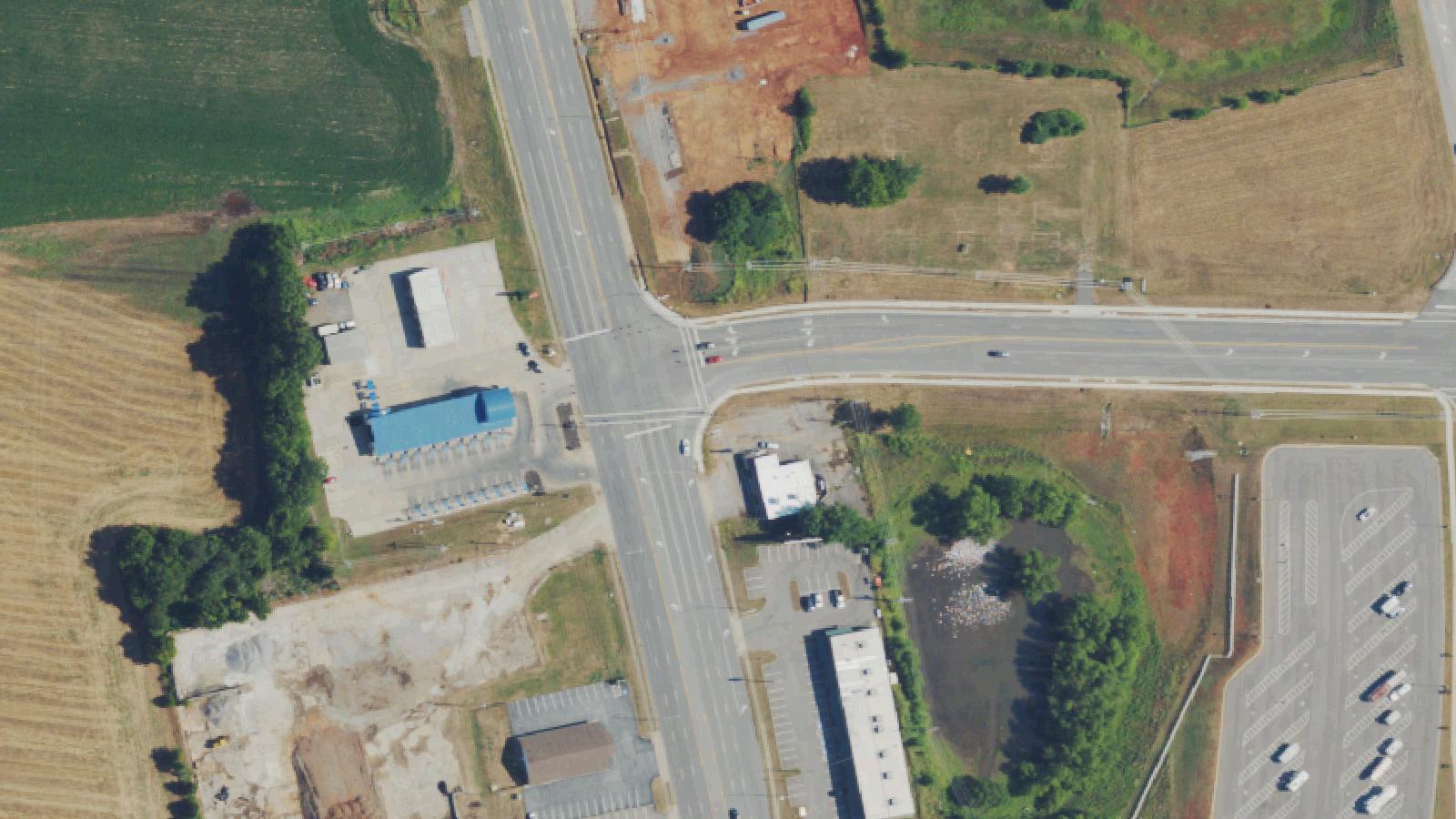 Aerial survey · USDA NAIP
Oak Grove, KY
Ghost Bridge is the local name for a rural bridge on Carter Road near Oak Grove, Kentucky, in Christian County, just outside the gates of Fort Campbell on the Kentucky-Tennessee line. The crossing has been a regional legend-tripping site for decades and was the title location and filming site of the 2024 locally produced horror film 'Ghost Bridge.'
 Aerial survey · USDA NAIP
Glasgow, KY
Slash Bridge is a small bridge carrying Old Munfordville Road across Beaver Creek in rural Barren County, Kentucky, between Glasgow and Cave City. The original crossing was a wooden covered bridge that was replaced after the Civil War by a steel-frame structure with a wooden deck. The crossing is documented in local Barren County folklore collections.
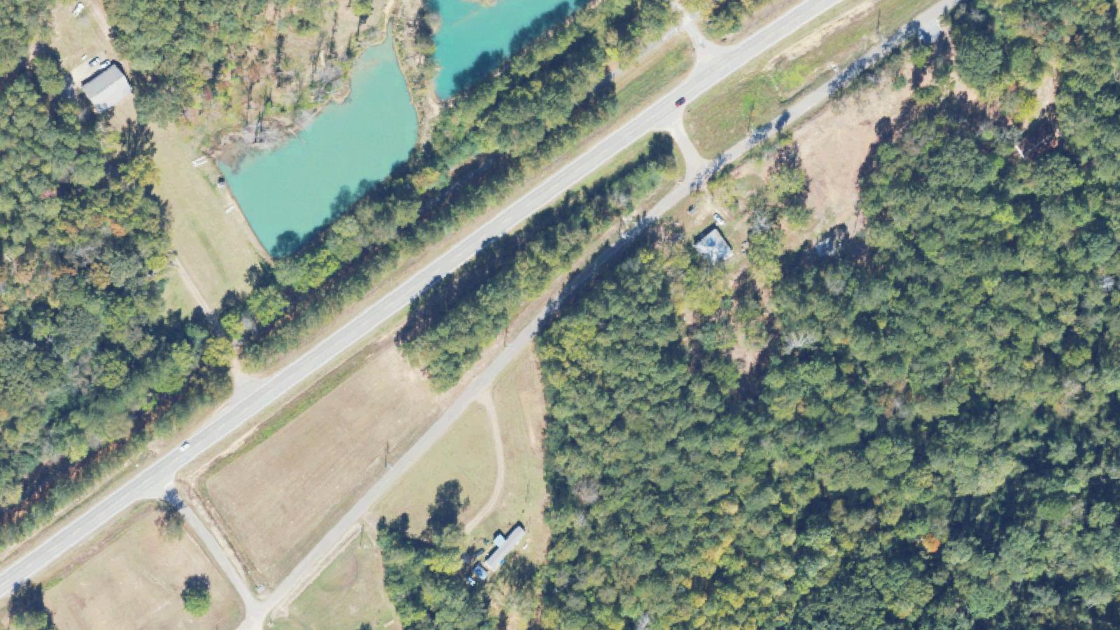 Aerial survey · USDA NAIP
Jacksonville, AL
Dump Road is a colloquial name for an unfinished subdivision road extension in Jacksonville, Alabama, located above the Brownwood Estates neighborhood and along a section of the Old Chief Ladiga Trail corridor. The road was paved in the 1980s as part of a planned development that was never completed; the formal Chief Ladiga Trail today provides 39.2 miles of paved rail-trail through eastern Alabama.