Est. 1864 · April 18, 1864 — massacre of 1st Kansas Colored Infantry, worst documented Civil War atrocity in Arkansas · Post-battle killing of wounded and surrendering Black soldiers documented in period accounts · Part of Camden Expedition National Historic Landmark · 84-acre Arkansas State Park
In April 1864, Union General Frederick Steele's Army of Arkansas moved on Camden as part of a coordinated campaign with Banks's Red River expedition. Steele's force needed supplies, and on April 17 he sent a foraging column of roughly 1,800 men south from Camden toward Prairie D'Ane under Colonel James M. Williams. The column included the 1st Kansas Colored Infantry, one of the first Black regiments mustered into Union service.
Confederate General Sterling Price positioned approximately 3,600 men — including forces from Brigadier General John Marmaduke and Brigadier General Samuel Maxey commanding Native American brigades from the Indian Territory — along the road at Poison Spring. On the morning of April 18, the Confederate force attacked the Union column from multiple directions as it attempted to return to Camden.
The 1st Kansas Colored Infantry held the rear guard and bore the worst of the attack. As the Union column routed, Confederate soldiers killed wounded and surrendering Black soldiers from the regiment. Period accounts, including Union reports and survivor testimony, document that wounded men were shot rather than taken prisoner and that some bodies were mutilated. The total losses among the 1st Kansas Colored Infantry were disproportionately high relative to white units engaged the same day.
The exact death toll is documented variously as over 200 total Union dead across the engagement, with the proportion from the 1st Kansas Colored being the subject of detailed scholarship. Wikipedia's documentation of the battle draws on Congressional investigations and period military reports establishing the massacres as deliberate rather than incidental to the fighting.
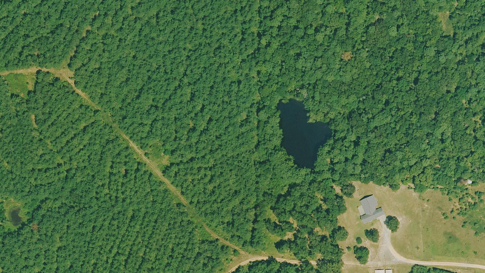
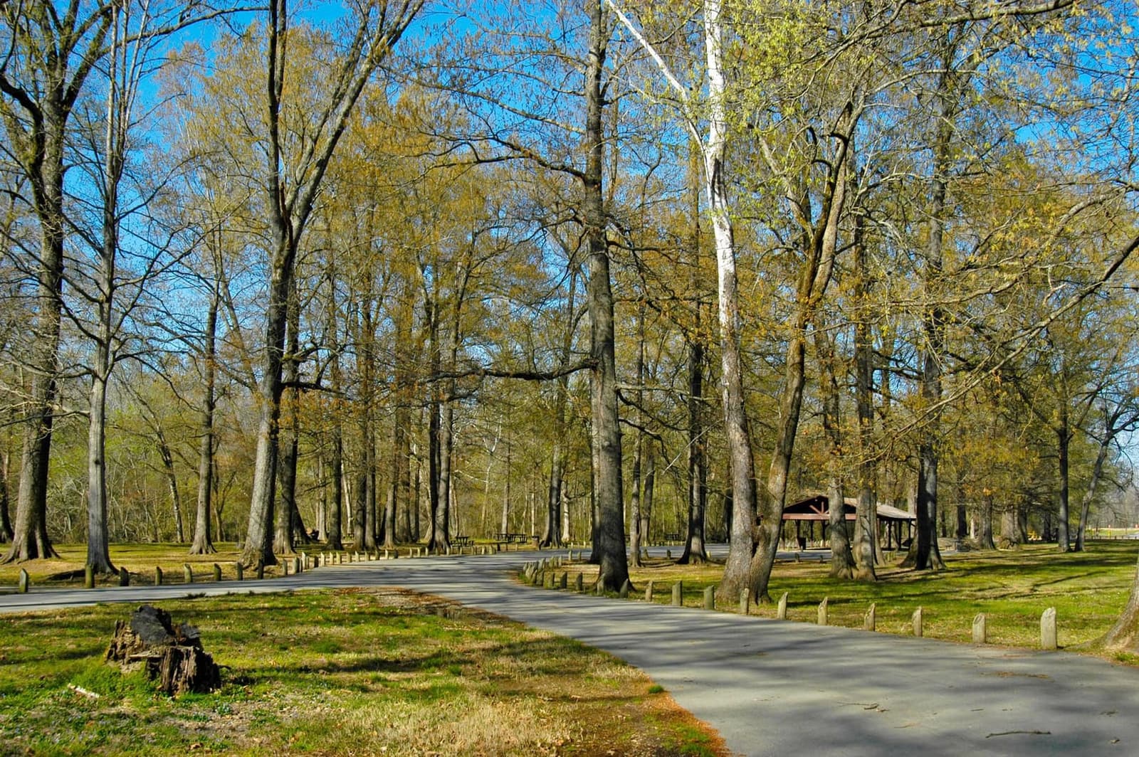
The state park preserves 84 acres of the Camden Expedition National Historic Landmark. An interpretive trail and markers explain the battle, the Camden Expedition, and the massacre of the Black soldiers. The park is one of several sites on the Camden Expedition driving tour through Ouachita County.
Sources
- https://en.wikipedia.org/wiki/Battle_of_Poison_Spring
- https://www.arkansasstateparks.com/parks/poison-springs-battleground-state-park
- https://www.exploresouthernhistory.com/poisonspring6.html
Anomalous light phenomena in photography on the battlefield
Poison Springs does not have a rich paranormal tradition in the formal sense — no ghost tours operate here, no investigators have published detailed reports, and no named apparitions are associated with the site. What the site does have is a documented pattern of anomalous photography reports: investigators and visitors who have brought cameras to the battlefield describe a higher-than-typical rate of lens flares, orbs, and unexplained light artifacts that they associate with the site's history.
The Explore Southern History site, which documents Dark-history sites across the region, notes this photography phenomenon from a visitor investigation and distinguishes it from sites where nothing anomalous was recorded. Whether the effect represents genuine paranormal activity, atmospheric conditions particular to the Ouachita County bottomland, or investigator expectation bias is not determinable from the available record.
The more significant aspect of Poison Springs as a dark-history site is its documented history of atrocity: the killing and mutilation of wounded and surrendering Black soldiers from the 1st Kansas Colored Infantry on April 18, 1864, is documented in Congressional investigations and period military records. The 84 preserved acres and the interpretive trail exist specifically so that what happened at Poison Spring is not forgotten.
Where this legend is told