Est. 1866 · Jefferson County Cemetery · Coal Mining Community · Reconstruction Era
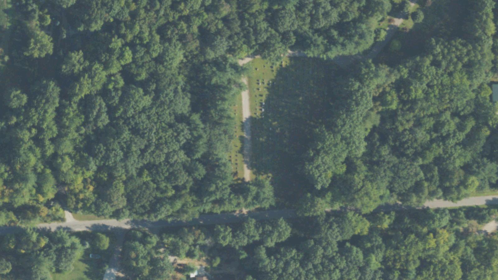
Village Falls Cemetery sits in Mulga, Jefferson County, Alabama, near the community of Adamsville west of Birmingham. The cemetery was established in 1866 and originally served the Village Falls Methodist Church congregation, a church that no longer stands. Without a sponsoring congregation, the cemetery has operated independently.
Genealogical transcription projects have documented approximately 1,173 markers at the site, with the oldest recorded death date belonging to Dannie Carmichael on May 11, 1866. The burial grounds reflect the demographic patterns of the Jefferson County mining belt — the Mulga community grew alongside coal mining operations in the late nineteenth and early twentieth centuries, and the cemetery holds the remains of mining families and their descendants.
The cemetery includes a large tree at its center, which has become the physical anchor of the site's folklore. Streetlights on the surrounding roads are reported to behave unusually near the cemetery grounds.
Sources
- https://www.findagrave.com/cemetery/26886/village-falls-cemetery
- https://bhamnow.com/2020/10/13/5-spooky-tales-from-birminghams-cemeteries/
- http://www.mystery411.com/Landing_villagefallscemetery.html
- http://www.hueytown.org/historical/cemeteries/Village_Falls_Cemetery.pdf
ApparitionsShadow figuresLights flickeringSensed Presence
The primary account attached to Village Falls Cemetery describes shadowy figures appearing in or near the large central tree — described in some versions as figures hanging from the branches. Genealogical researchers who have documented the cemetery note that no verified historical event involving hangings at the site has been identified; the claim circulates in local oral tradition without a traceable origin.
A parallel account involves the streetlights immediately surrounding the cemetery. Multiple independent sources describe the lights cycling on and off in sequence without apparent electrical cause, a pattern visitors report observing after dark.
Witnesses have also described a generalized sense of presence on the grounds — a feeling of being observed or accompanied that does not resolve into a specific apparitional form.
The Birmingham area ghost-story tradition includes a number of cemetery accounts that evolved around sites associated with the coal mining communities of the late nineteenth and early twentieth centuries. Village Falls Cemetery, with its working-class origins, its long detachment from an active church, and its position outside the more documented urban core, sits within that regional tradition.