Est. 1889 · Michigan Central Railroad · Rural Transportation · Early 20th Century Infrastructure
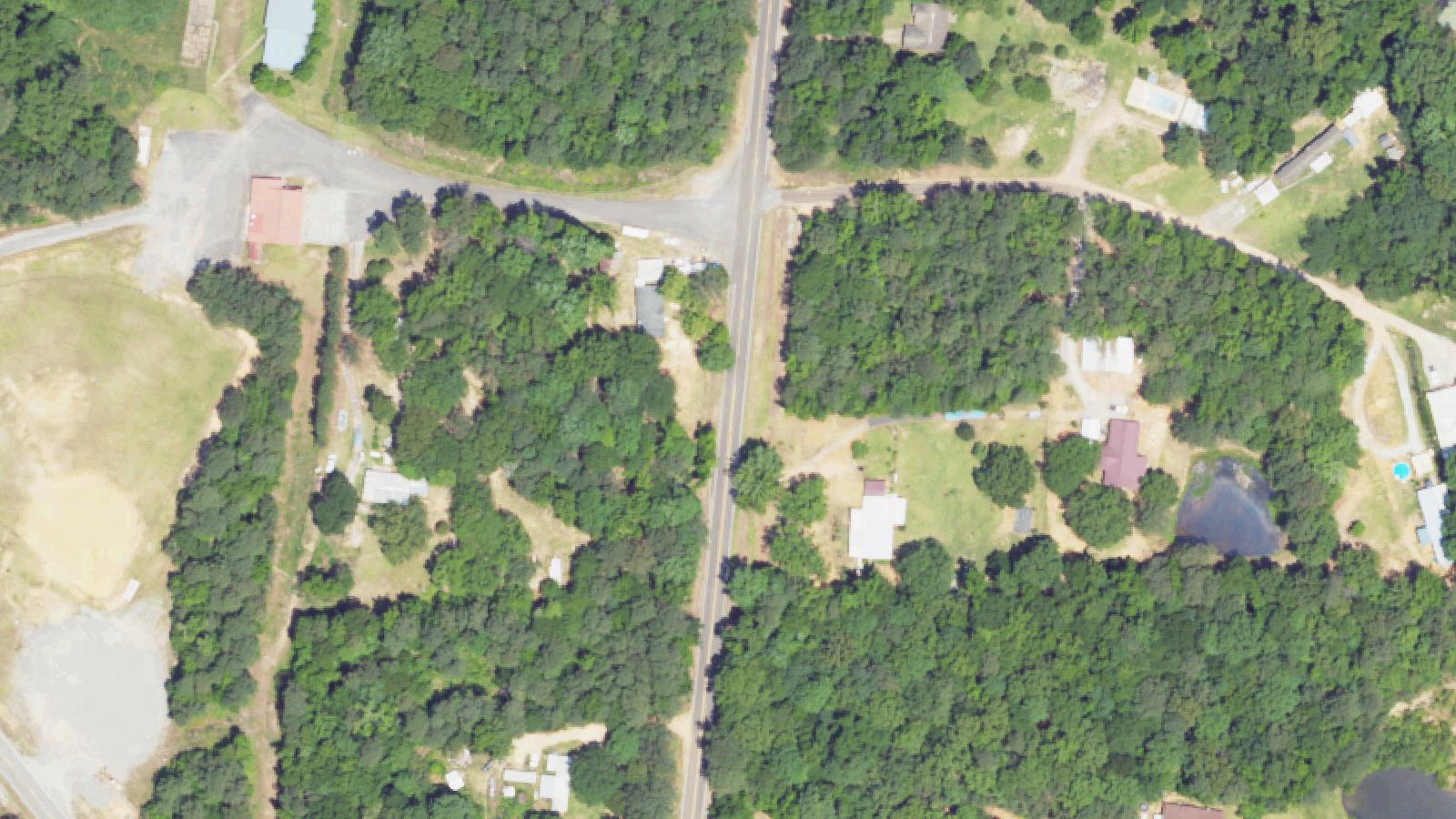
East Leroy, located in southwest Calhoun County approximately ten miles south of Battle Creek, developed as a small settlement beginning in 1835. The town's economy and character were shaped significantly by its role as a railroad depot along the Michigan Central branch line that connected Battle Creek southward to Goshen, Indiana.
The Michigan Central Railroad expanded its reach into southwest Michigan during the nineteenth and early twentieth centuries. The Goshen branch line passed through East Leroy, making it an important regional transportation hub. A railroad depot photograph from approximately 1919 documents the station structure at East Leroy, indicating the railroad's continued prominence during that era.
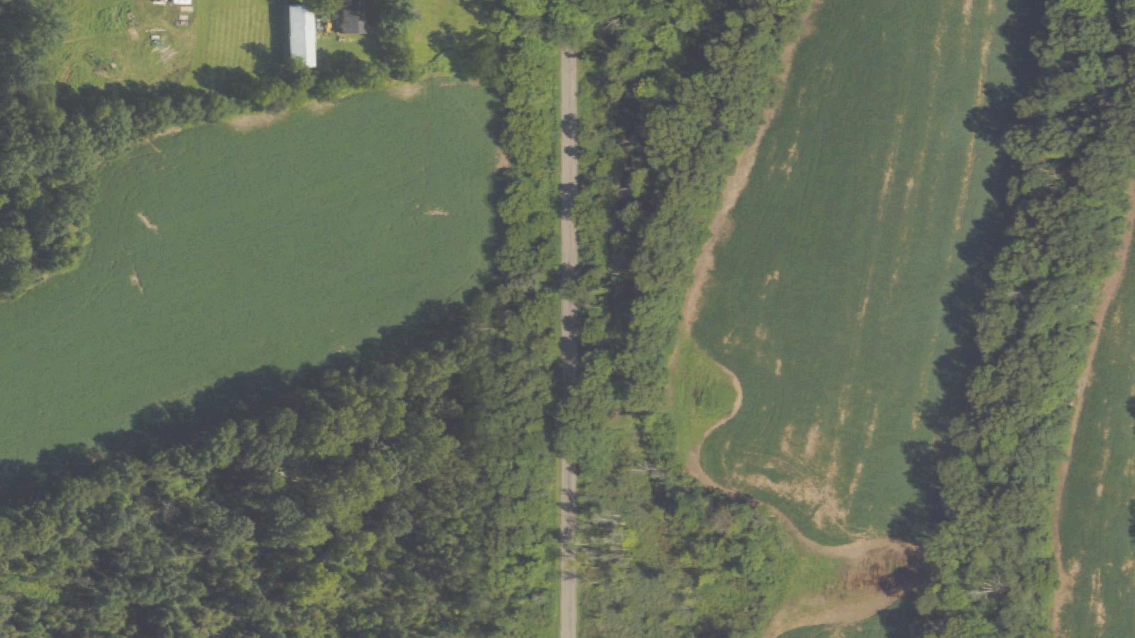
The branch line operated through the 1920s, serving as a crucial connection for freight and passenger service through the region. As national railroad patterns changed and highway transportation developed, many rural branch lines became economically unviable. The line to East Leroy was eventually abandoned, leaving behind the physical remnants of the railroad corridor that can still be traced through the landscape.
Sources
- https://www.michiganrailroads.com/stations-locations/77-calhoun-county-13/575-east-leroy-mi
- https://99wfmk.com/east-leroy-michigan/
- https://en.wikipedia.org/wiki/History_of_railroads_in_Michigan
Phantom soundsPhantom voicesPhantom footsteps
Local folklore surrounding the abandoned railroad bed describes auditory, visual, and tactile paranormal phenomena interpreted as a phantom train. Witnesses report hearing the distinct sounds of a train in operation along the corridor despite the railroad's abandonment decades ago. Some accounts describe seeing the visual impression of a train passing through the landscape, while others claim to feel vibrations or physical sensations associated with a moving locomotive.
These reports follow a residual haunting pattern—a repeating environmental imprint that occurs in the same location regardless of observer presence. The phenomena are attributed by some to traumatic historical events or the intense impression left by decades of regular railroad operation.
The abandoned railroad corridor remains accessible to curious visitors and paranormal enthusiasts. The isolated nature of the location, combined with the sounds of distant traffic and natural forest acoustics, may contribute to the interpretation of ordinary environmental sounds as paranormal phenomena. No systematic paranormal investigation documentation is publicly available.