North-Central Illinois Folklore
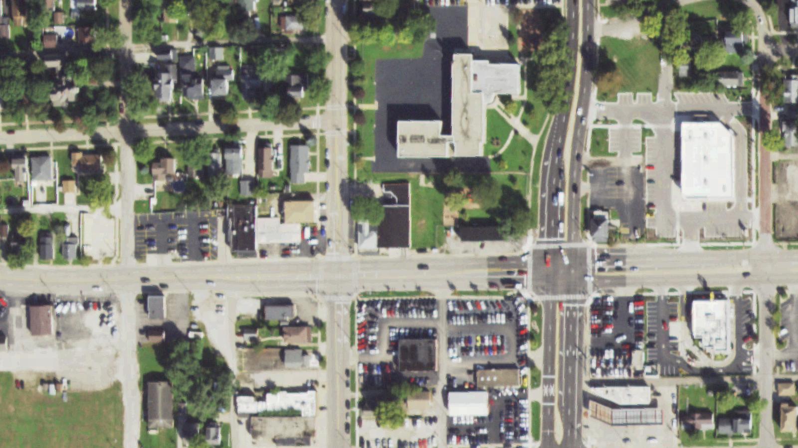
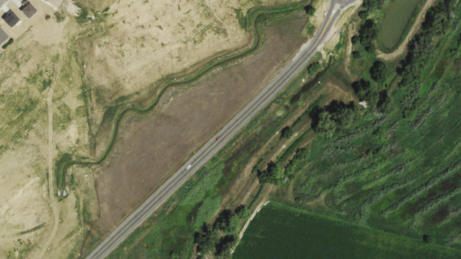
Illinois Route 6 is an east-west state route through Bureau County in north-central Illinois. The route passes the small Illinois River communities of Spring Valley, Peru, and DePue. The legendary so-called Help Road is identified in regional retellings as a connector route in the vicinity of DePue, sometimes designated as the 2775 East roadway. The road has been improved and paved over the years.
No regional news archive entry or court record substantiating the specific motorcycle-crash incident described in the folklore has been located. The same legend script, including a victim writing HELP on the pavement in blood and the words returning despite cleaning, attaches to other rural Illinois roads, most notably to Cherry Road. The bloody-HELP narrative is a long-running Illinois variant of the dying-message urban-legend family and is treated here as folklore rather than documented history.
Sources
- https://www.illinoishauntedhouses.com/real-haunts/roads.aspx
- https://everafterinthewoods.com/these-are-haunted-roads-in-illinois-you-shouldnt-drive-down-on-halloween/
- https://www.idot.illinois.gov/transportation-system/transportation-management/maps/index.html
- https://www.enjoyillinois.com/explore/listing/illinois-and-michigan-canal-national-heritage-corridor/
Residual hauntingOrbs
The local retelling describes an early-1980s motorcycle crash on a small connector road off Route 6, in which an intoxicated driver lost control on a curve, killed his passenger on impact, and dragged himself to the pavement to write HELP across the road in his own blood before dying. The folklore holds that the lettering returned the morning after the sheriff's office cleaned it and continued to reappear in identical handwriting after subsequent cleanings, eventually persisting after the road was widened and paved over.
A secondary 2008 variant attached to the same listing references a separate report of a man buried alive at the same general location. The two variants do not reconcile in the source material and are presented here as parallel retellings rather than a unified history.
The same dying-message script attaches to Cherry Road in central Illinois, where a prom-night crash and a bloody HELP marking on the pavement appear in regional folklore compilations. The Help Road and Cherry Road versions share enough specific narrative beats that they likely represent the same urban-legend family adapted to different rural locations.
No paranormal investigation report substantiating recurring phenomena at this site has been located.